
3point.xyz


TAKEAWAYS
- Modern GIS is a new approach to geospatial analysis that is open source, scalable to data, interoperable, and runs locally or in the cloud.
- The roadmap to using modern GIS may include mastering QGIS, and incorporating SQL and Python to query, analyze, and automate the use of geospatial data.
- Cloud-native formats improve efficiency compared to TIFFS and shapefiles.
- What are your experiences with Modern GIS? Please share your thoughts in the comments!
MODERN GIS
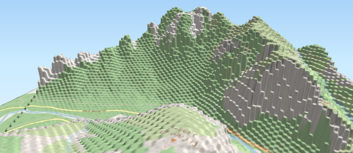
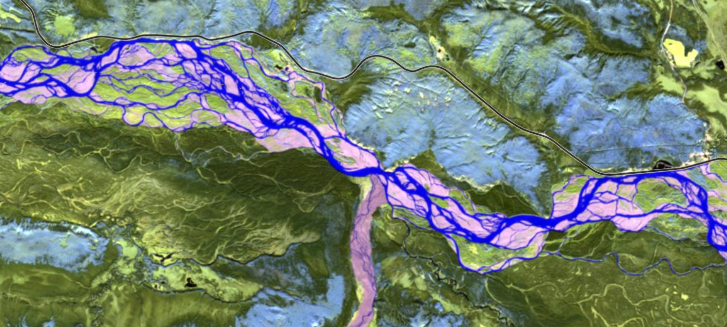
Geographic information systems (GIS) have substantially changed in the past few decades, from clunky map layers with poor graphics to complex software processing thousands of data points in multiple dimensions. During this progression, the term GIS has shifted toward geospatial data and most data has a spatial component (Russell, 2024).
An explosion in data science during the past decade created a long live rock/rock is dead moment from engineers first exclaiming that all data must be big data, then others declaring that big data is dead! At the same time, a proliferation in software and higher costs for software subscriptions, imagery, and analysis started in the geospatial field. One of the responses to this change has been the development of so-called Modern GIS systems that are open source, scalable, and interoperable (Forrest, 2023).
Modern GIS is the process, systems, and technology used to derive insights from geospatial data. Modern GIS uses open, interoperable, and standards-based technology. It can be run locally or in the cloud and scale to work with different types, velocities, and data scales.
Developing modern geospatial analysis has been critical due to increasingly larger datasets, the need to integrate siloed systems, the need for cloud storage of large datasets, and access to free and open source geospatial systems that help to democratize spatial data collection, analysis, visualization, and sharing that is financially feasible to implement. Complex enterprise systems are expensive and out of reach for many organizations, whereas free and open source software can make a world of difference when limited funding is available.
Don't delete your desktop GIS software yet! Modern GIS should integrate with desktop software such as QGIS, and even ESRI incorporated DuckDB to go cloud native with SQL geospatial queries with GeoParquet data (Harold, 2024). In fact, using both may improve your results.
ROADMAP
How do you feasibly implement modern GIS with your workload and organizational needs? The Beginner's Roadmap to Modern GIS has several excellent recommendations for implementing modern GIS:
- Master QGIS as your foundational software. Get familiar with QGIS fundamentals, then connect QGIS to a PostGIS database, use the DB manager to run spatial queries, and explore QGIS plugins that use modern GIS such as DuckDB. The QGIS Training Manual has excellent, detailed sections about connecting databases to QGIS.
- Learn Spatial SQL for Scalable Data Processing. Learning spatial SQL. Free and Open Source Geospatial Tools Chapter 5 introduces SQL and links to more resources to expand your learning. PostGIS also has excellent tutorials on querying geospatial data using SQL.
- Use Python for Automation & Data Engineering. Rasterio and Geopandas are great libraries for Python-based geospatial automation and analysis. Consider other Python packages such as Geemap and Leafmap to take Python further. An introductory tutorial on geospatial Python can be found here.
The remaining roadmap steps in the article—moving your data to the cloud and scaling up with cloud-based analysis—may involve costs and subscriptions (e.g., AWS, Google Cloud Storage for data storage) but are worth considering for their overall feasibility and your data storage needs. Academic or nonprofit subscriptions might be reduced or exempt from fees. Alternatively, your organization may already utilize these platforms, making the additional cost relatively minor compared to current hard drive or cloud storage expenses.
Your data format matters, too. Cloud-native formats such as GeoParquet (vectors) and Cloud-Optimized GeoTIFF (rasters) are new spatial data formats that allow for faster querying or tiling than traditional downloading of shapefile or TIFFS. GeoParquet is a columnar data storage format that compresses into a small size and allows faster data reading. These formats also allow for easier collaboration since they are directly accessible from the cloud without needing local storage or a server client, making working with large datasets more efficient.
Use QGIS as a GUI for databases
An excellent recommendation from the article is to use QGIS as a GUI (graphical user interface) for databases. Connecting QGIS to DuckDB or PostGIS is a great way to do this. Another great tip is to join a community trying to do the same. The Wildlabs Geospatial Group, Google Earth Engine Developers, or GIS Stack Exchange are examples of like-minded communities where you can ask questions and get helpful solutions. For software libraries, go to the GitHub repository for the library in question and click on Discussions at the top of the page.
MOVING FORWARD
Are you or your organization considering incorporating modern GIS into your workflow or geospatial unit? Do you have any experience with the above tools? What have been the challenges you face? We're looking forward to hearing about your journey in the comments.
Add the first post in this thread.