

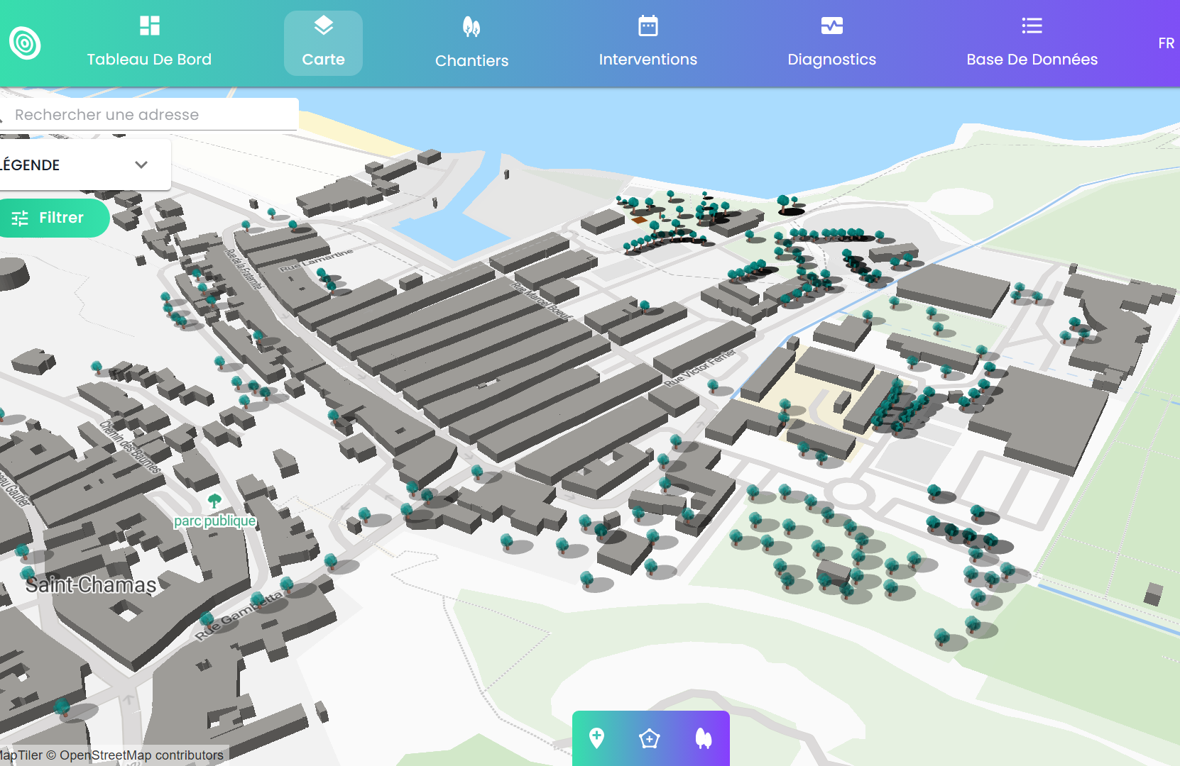
Our opensource plateform EcoTeka is now allowing to view trees in 3D.
Ecoteka - The Application for Urban Renaturalization — Natural solutions
We did a prototype for viewing transmitters data in 3D a while back and now digital twins are becoming popular.
I would love to know if it is of any interest to conservation, what are the used cases for 3D?
4 August 2025 6:17pm
Hi Olivier! I'm Alex from the WILDLABS community team. Thank you for sharing EcoTeka! I made a page for it on The Inventory, our wiki-style database of conservation technology tools, R&D projects, and organizations. The Inventory is an essential resource for people in the community to learn about what tools are available for their work.
As an owner of Ecoteka, I encourage you to edit this page to make it as accurate as possible! You can also become a "key contact" for EcoTeka so the WILDLABS community knows who to contact with any questions! To learn more about how to edit a page and become a key contact, read our user guide here. Reach out to myself or @JakeBurton for any troubleshooting needs!
Alex Rood
WILDLABS
World Wide Fund for Nature/ World Wildlife Fund (WWF)