

Related Inventory Content
Conservation involves a mosaic of actors — field practitioners, local communities, funders, government agencies, scientists, and more.
Each one needs different levels of information, trust, and storytelling. The big question: how do we communicate impact effectively across all of them without building ten different tools?
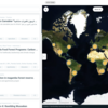
At OpenForests, we’ve been working on this through explorer.land — a map-based platform that allows updates, visuals, data, and narratives to co-exist in one transparent, spatial context. It’s helped our partners centralize communication without sacrificing depth.
👉 What are your go-to tools, formats, or frameworks for stakeholder-specific communication?
👉 Have you found ways to simplify while still being credible?
17 April 2025 5:04pm
Great questions @LeaOpenForests !
I don't have concrete answers since I am not a stakeholder in any project in particular. Based on experience with research on the potential for a similar one-stop-shop for science metrics, I would suggest that there is no simple solution: different actors do need and have different views on presenting and viewing impact. This means possible gaps between what one group of actors need and what the other is willing or able to produce. One can hope, search and aim for sufficient overlap, but I don't see how they would necessarily or naturally overlap.
Still, I would guess that if there are dimensions of overlap, they are time, space and actor-networks

Amber Balfour-Cunningham
The University of Western Australia
WA Department of Primary Industries and Regional Development (DPIRD)


28 April 2025 3:18pm
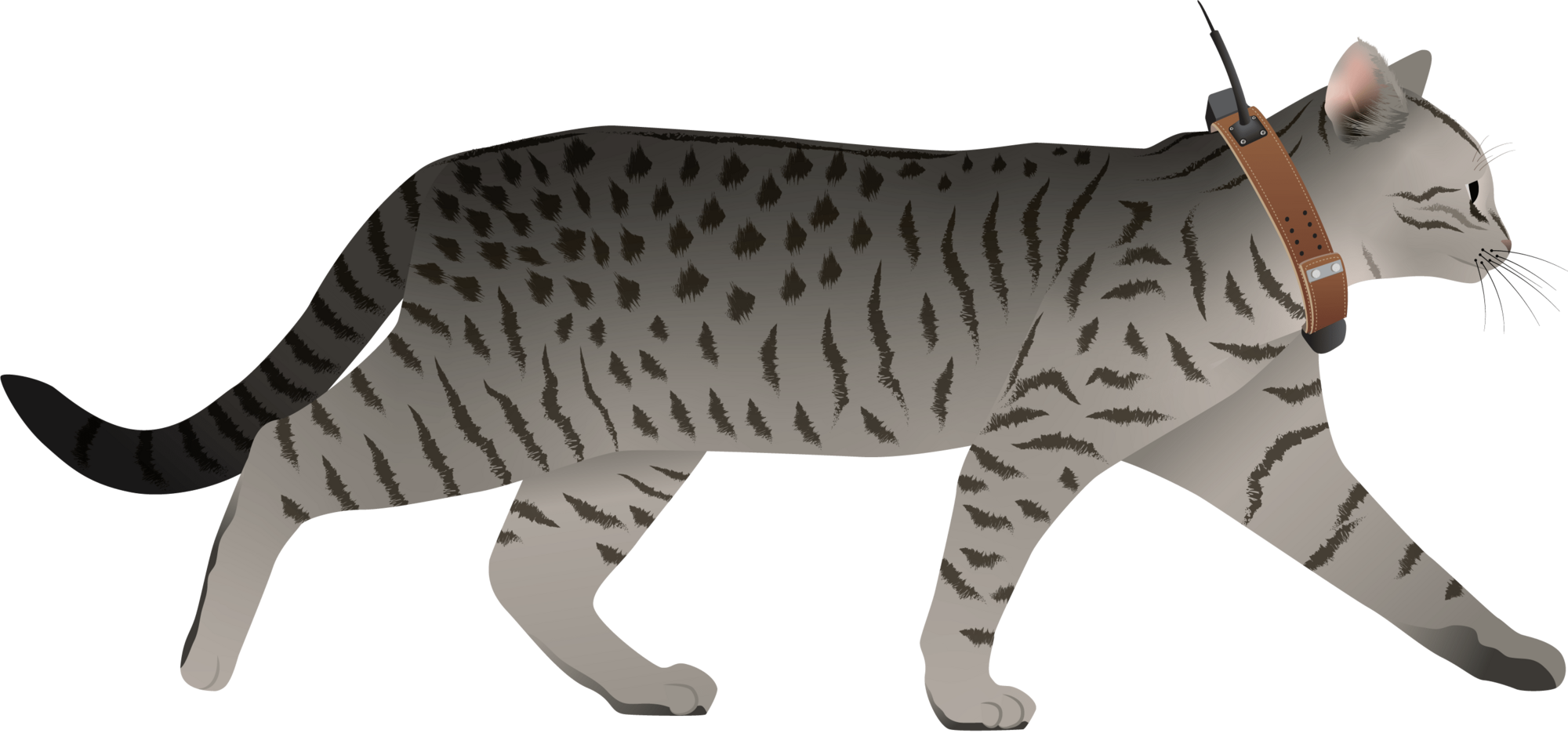
I have posted about this in a different group, but I love boosting the impact of my communication through use of visuals.
Free graphics relating to conservation technology and the environment are available at:
National Environmental Science Program Graphics Library
Graphics below of a feral cat with a tracking collar and a cat grooming trap are examples of symbols available courtesy of the NESP Resilient Landscapes Hub, nesplandscapes.edu.au.
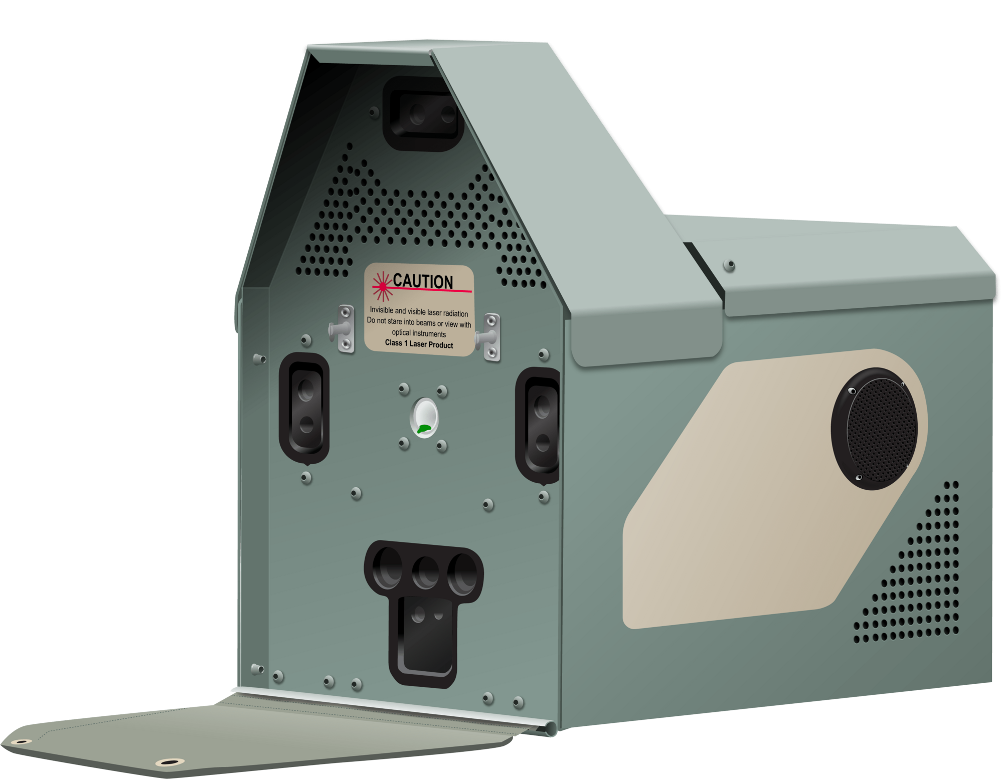
UMCES Integration and Application Network Media Library
Frank van der Most
RubberBootsData