Overview
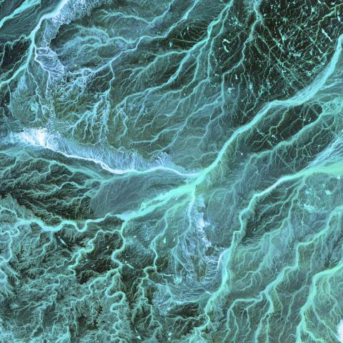
Remote sensing, combined with Geographic Information Systems (GIS), uses satellite or aerial imagery to map and analyse landscapes. This technology aids in efforts such as habitat mapping, land use assessment, and spatial planning for conservation initiatives.

Reviews
-
Easy to use / Free to use / Resource intensive /Full Review
Overall, this is a great and easy-to-use open-source software. Models can be run either through a graphical user interface or via the Python API, offering flexibility for users with different levels of...
-
Complete / Comprehensive / Free to use /Full Review
GFW is an an incredible data analysis and visualization tool with tons of different geospatial layers integrated into it (e.g., those from U Maryland's GLAD lab, WRI's Land & Carbon Lab, etc.). I also...
-
Free to use / Good value for money / Incomplete / Not comprehensive /Full Review
Great product for visualizing forest loss that's update and, when you sign up, email alerts. It's not entirely easy or clear how to download data once you create an area of interest or that could be behind...


