Technology type

Remote sensing GIS

131 Products
1 R&D Projects
53 Organisations
10 Product Reviews

Overview

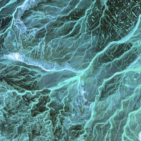
Remote sensing, combined with Geographic Information Systems (GIS), uses satellite or aerial imagery to map and analyse landscapes. This technology aids in efforts such as habitat mapping, land use assessment, and spatial planning for conservation initiatives.
camera trap icon Products

  • camera trap icon

    InVEST

    InVEST® is a suite of free, open-source software models used to map and value the goods and services from nature that sustain and fulfill human life.

  • camera trap icon

    Kelp Watch

    Our researchers have demonstrated that by analyzing satellite imagery of coastal waters with machine learning algorithms, it’s possible to estimate the presence and size of kelp forests, and observe how they change over time.

  • camera trap icon

    Global Ecosystems Atlas

    The Global Ecosystems Atlas is a versatile platform for identifying distribution of different ecosystem types, supporting conservation and restoration efforts, informing environmental management decisions, conducting research, and aiding in environmental and corporate reporting.

  • camera trap icon

    Planet-NICFI Basemaps

    Through Norway’s International Climate & Forests Initiative (NICFI), users can access free of charge Planet’s high-resolution (<5m per pixel), analysis-ready mosaics of the world’s tropics in order to help reduce and reverse the loss of tropical forests for non commercial uses.

  • camera trap icon

    REDD+AI

    REDD+AI is the first system to quantify and map tropical forest degradation globally. The open platform includes maps and statistics to show how much forest degradation can be attributed to logging, forest fire, and roads for every tropical forest country.

  • camera trap icon

    Earth Blox

    Earth Blox transforms complex nature and climate data into clear, decision-ready insights for risk mitigation, regulatory compliance and opportunity identification. It helps teams act with confidence in a world where environmental insight drives business success.

R&D

Organisations

  • World Wildlife Fund

    WWF is one of the world’s leading conservation organizations, working in nearly 100 countries for over half a century to help people and nature thrive.

  • Land & Carbon Lab

    LCL harnesses the latest AI and satellite imagery to create data that provides unprecedented transparency about the world’s land and nature-based carbon.

  • CTrees

    CTrees is a nonprofit organization that tracks carbon in every tree on the planet

  • Alberta Biodiversity Monitoring Institute (ABMI)

    The ABMI is a non-profit, value-neutral biodiversity and land cover monitoring organization in Alberta, Canada. We have over 15 years of data freely available for use and download by anyone for any purpose.

  • Dendroyka

    Dendroyka is a conservation technology company that builds "Landscape", land conservation software. We focus on improving the accuracy and efficiency of land protection and management work, so that organizations can focus on their mission of land conservation.