In recent years, drone technologies have been explored for a range of applications in conservation including (but not limited to) mapping, biodiversity inventories, antipoaching patrols, wildlife tracking, and fire monitoring. The rise of customizable, open-source drones like those of ArduPilot and OpenROV hold promise for more effective conservation applications, and combined with other monitoring sensors and devices, they are capable of collecting high-resolution data quickly, noninvasively, and at relatively low cost.
However, challenges remain in putting these tools to use. A recent paper reviewing 256 conservation drone projects highlighted some of these major obstacles, ranging from unintended social and ecological consequences of drone operations to still prohibitive costs, both in terms of hardware and in terms of storing and processing large volumes of data. The longstanding challenge of power/battery life remains as well.
If you're considering trying out drones for yourself, and want to explore the possibilities and understand the major conversations happening around this technology, check out these beginner's resources and conversations from across the WILDLABS platform:
Three Resources for Beginners:
- Conservation Technology User Guidelines Issue 5: Drones, World Wildlife Fund | Drones, best practices, ethics, regulations, case studies
- WILDLABS Virtual Meetup Recording: Drones, Craig Elder, Dr. Claire Burke, and Gabriel Levin | Drones, thermal camera, wildlife crime, ML, biologging
- New Paper: Drones and Bornean Orangutan Distribution, Sol Milne | Drones, data analysis, citizen science, community science, primates
Three Forum Threads for Beginners:
- Curious about radio-tracking with drones? | Wildlife Drones, Biologging (5 replies)
- Drones for GIS Best practice Document | Adrian Hughes, Drones (10 replies)
- WWF Conservation Technology Series: Drones in Conservation | Aurélie Shapiro, Drones (7 replies)
Three Tutorials for Beginners:
- How do I use a drone to capture radio-tracking data? | Debbie Saunders, Tech Tutors
- How do I choose the right drone for my conservation goals? | Shashank Srinivasan, Tech Tutors
- How do I strategically allocate drones for conservation? | Elizabeth Bondi, Tech Tutors
Want to know more about using drones, and learn from experts in the WILDLABS community? Make sure you join the conversation in our Drones group!
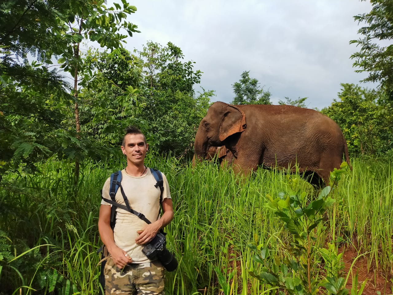
*Header photo: Parker Levinson, Point Blue Conservation Science

- @nancyalice
- | she/her
Conservation Communicator | Technology for Wildlife Foundation (TfW)
- 0 Resources
- 0 Discussions
- 10 Groups

- @serena.le
- | she/her
Conservation tech enthusiast
- 0 Resources
- 0 Discussions
- 25 Groups

- @Tysmucker
- | He/Him
Wildlife Biologist/Conflict Specialist and drone enthusiast in Montana
- 0 Resources
- 0 Discussions
- 5 Groups

- 0 Resources
- 0 Discussions
- 4 Groups
I'm a wildlife ecologist with interests in a range of technology.


- 0 Resources
- 22 Discussions
- 5 Groups
- @stienheremans
- | she/her
Remote sensing researcher for environmental monitoring and nature conservation/restoration
- 0 Resources
- 1 Discussions
- 5 Groups

Movement Ecologist studying the where, why, and how animals move throughout our world. Current work is investigating the movement and energetics of large neotropical bats in a changing environment with ephemeral resources.


- 0 Resources
- 23 Discussions
- 22 Groups
- @tomwhite101
- | He/Him
Agroecology Geek
- 0 Resources
- 0 Discussions
- 12 Groups

BSc Forest Engineering, MSc GIS Sciences, Drone researcher
- 2 Resources
- 11 Discussions
- 5 Groups

University of British Columbia
Postdoc at UBC, exploring how drones enhance wildlife conservation using thermal cameras & AI tools to refine monitoring of large mammal populations in Canada & compare these approaches to traditional methods.
- 0 Resources
- 0 Discussions
- 7 Groups

- @SareachChea
- | Sareach
Conservation International
I graduated in Ms of Entomology, and currently I work with Conservation International Cambodia as Biodiversity and Science Senior Coordinator.
- 0 Resources
- 0 Discussions
- 7 Groups

- @Heloise
- | She / Her
Bio-acoustician, marine biologist, marine mammal specialist, drone enthusiast
- 0 Resources
- 0 Discussions
- 9 Groups
Article

This WhaleSeeker article discusses how reliable distribution data depends on accurate labelling from survey images, and how AI can improve this process.
13 July 2022
Article
Drone Pilot Training with Wildlife Drones (Australia)

Wildlife Drones
Ever wanted to become a Drone Pilot? Here is your chance!
10 June 2022
Article

Hundreds of tons of the toxic chemical have likely littered the ocean floor near Santa Catalina Island for decades.
4 June 2022
Article
"A drone emitting orca sounds will be used in attempt to guide the animal, whose health is fast deteriorating"
1 June 2022
Article
Authors: Geison P Mesquita, Margarita Mulero-Pázmány, Serge A Wich, José Domingo Rodríguez-Teijeiro
29 May 2022
Article
News: The Latest in Conservation Tech (March 24)

WILDLABS Team
Check out this round-up of three of the latest conservation tech studies and news. See more conservation tech news by subscribing to our bi-monthly digest.
24 March 2022
Careers

Fauna & Flora International is seeking a qualified candidate for the position of a Technical Specialist, Analytics to support and grow the use of spatial technologies and analyses for conservation planning and...
21 March 2022
Article
Technical Difficulties: Cleared for Takeoff

Eric Becker and 1 more
In their three-part interview from our new series Technical Difficulties, Colby Loucks and Eric Becker share the failures they've encountered and learned from throughout six years of working on the WWF-US Wildlife Crime...
20 October 2021
Article
Technical Difficulties: Understanding the Realities
Eric Becker and 1 more
In their three-part interview from our new series Technical Difficulties, Colby Loucks and Eric Becker share the failures they've encountered and learned from throughout six years of working on the WWF-US Wildlife Crime...
13 October 2021
Article
New Papers: Remote Sensing in Ecology and Conservation

Zoological Society London (ZSL)
ZSL's Remote Sensing in Ecology and Conservation journal has released new research for early view before inclusion in an issue. See the full list of recent open access research papers on RSEC.
22 April 2021
Community Announcement
Whether you spent the last year working in the field, lab, at home, or virtually, the WILDLABS community's conservation tech achievements were on full display in our annual #Tech4Wildlife Photo Challenge! Relive our...
25 March 2021
Funding
Funding Opportunity: COVID-19 Science Fund

National Geographic
National Geographic is offering funding up to up to $50,000 for conservationists conducting research on how the pandemic has impacted wildlife and conservation work. If you are interested in researching aspects of the...
10 March 2021
December 2023

November 2023
event

Stephanie O'Donnell
33 Products
Recently updated products
| Description | Activity | Replies | Groups | Updated |
|---|---|---|---|---|
| Hi Simon,We (Reneco International Wildlife Consultants) have an ongoing collaboration with a local University (Abu Dhabi, UAE) for developing AI tools (cameratrap/drone... |
|
Acoustics, AI for Conservation, Animal Movement, Camera Traps, Citizen Science, Connectivity, Drones, Early Career, eDNA & Genomics, Marine Conservation, Protected Area Management Tools, Sensors | 4 months 1 week ago | |
| Thank you David, a phenomenal source! |
+10
|
Drones, Geospatial, Protected Area Management Tools | 4 months 2 weeks ago | |
| I've used both Dronelink and Litchi for flight planning with my DJI Mini SE - and then stitched in WebODM. Both apps support most DJI drones that have a suporting SDK. I'm not... |
|
Drones | 5 months ago | |
| Hi Matthew Wow, what an amazing project! It is incredible how you have managed to figure out some of the complexities of combining underwater imagery with UAV imagery. I am... |
|
Drones, Geospatial, Marine Conservation, Protected Area Management Tools | 5 months ago | |
| Hats off to your team for this absolute game-changing technology! We rescue stray and wild animals in Taiwan, and the bulk of our work is saving animals maimed by wire snares... |
+37
|
AI for Conservation, Drones, Emerging Tech, Human-Wildlife Conflict, Wildlife Crime | 6 months ago | |
| Adrian,Many thanks for v2.0 of the GIS best practices document. How does one obtain a copy of the RSPB code of practice B09 referenced in the best practices document? The link in... |
+8
|
Drones | 6 months 2 weeks ago | |
| Hi,I wonder if anyone could provide a synopsis of where drone tech currently sites for autonomous usage and AI implementation for surveys... |
|
Drones | 6 months 2 weeks ago | |
| No problem at all Yu (@JY) and good luck with your studies! Happy to discuss this and any other ideas any time.All the best,Rob |
+10
|
Sensors, Animal Movement, Connectivity, Drones, Open Source Solutions, Emerging Tech | 6 months 3 weeks ago | |
| 180m is indeed very high and from above. I think a 640x512 thermal sensor with a 70mm lens can see animals at at 180m from sideways and could recognise something as a deer, but... |
+11
|
Drones, Human-Wildlife Conflict | 7 months 1 week ago | |
| Hi @benweinstein !Surely a general detector might be very useful for detecting objects in aerial imagery! Maybe something similar to what MegaDetector does in camera trap images,... |
|
AI for Conservation, Open Source Solutions, Protected Area Management Tools, Drones, Geospatial | 8 months 2 weeks ago | |
| RealityCapture is now free to use for students, educators, and hobbyists and for companies making less than $1 million USD/year.Best regards!Steffen |
|
Drones | 9 months 2 weeks ago | |
| Hi all,maybe it helps 😉 My free manual 'Drones in Biomonitoring' - https://doi.org/10.5281/zenodo.8077113 can help to get (more) knowledge how to proceed easily and successfully... |
|
Drones, Marine Conservation, Wildlife Crime | 9 months 2 weeks ago |