Group curators

Vance Russell

Ahmed Junaid
- @ahmedjunaid
- | He/His

Elsa Carla De Grandi
Fauna & Flora
Who We Are
Geospatial data and analysis is critical for conservation, from planning to implementation and measuring success. Every day, mapping and spatial analysis are aiding conservation decisions, protected areas designation, habitat management on reserves and monitoring of wildlife populations, to name but a few examples. The Geospatial group focuses on all aspects of this field, from field surveys to remote sensing and data development/analysis to GIS systems.
How to Get Started
Want to learn more about how remote sensing is used in conservation? Check out the first two episodes of this season of Tech Tutors, where our Tutors answer the questions How do I use open source remote sensing data to monitor fishing? and How do I access and visualise open source remote sensing data in Google Earth Engine? You can also check out our Virtual Meetup Archive for a range of panels that overlap with Geospatial topics, or take a look at our Earth Observation 101 lecture series from Dr. Cristian Rossi.
Our Purpose
The WILDLABS Geospatial Group is for conservation practitioners, geospatial analysts, and academics that want to:
- Share geospatial resources, best practices, data, and ideas;
- Network amongst geospatial and data practitioners;
- Create peer learning opportunities;
- Promote the use of free and open-source geospatial software; and
- Improve the use of GIS software and geospatial analyses in conservation management and research.
Group curators

Over 35 years of experience in biodiversity conservation worldwide, largely focused on forests, rewilding and conservation technology. I run my own business assisting nonprofits and agencies in the conservation community


- 5 Resources
- 62 Discussions
- 12 Groups
- @ahmedjunaid
- | He/His
Zoologist, Ecologist, Herpetologist, Conservation Biologist


- 63 Resources
- 7 Discussions
- 26 Groups

Fauna & Flora
Remote Sensing Scientist, Conservation Technology & Nature Markets @ Fauna & Flora - WILDLABS Geospatial Group Co-Lead

- 34 Resources
- 28 Discussions
- 8 Groups

- 0 Resources
- 0 Discussions
- 9 Groups
- @sandrzejaczek
- | she/her
Movement ecologist working at Hopkins Marine Station. Specialise on large, predatory fishes (particularly sharks and rays).

- 0 Resources
- 1 Discussions
- 7 Groups

Murdoch university & BirdLife International
Research Scientist | Ph.D. | Conservation Science, GIS, Data management
- 0 Resources
- 1 Discussions
- 4 Groups
- @SandrineSerre
- | She/her
PhD student on movement and behaviour of sharks
- 0 Resources
- 0 Discussions
- 9 Groups

Zoological Society London (ZSL)
Water-landing fixed-wing drones in marine ecology and maritime surveillance in MPAs and beyond.
- 1 Resources
- 0 Discussions
- 10 Groups
Wildlife Conservation Society (WCS)
Video producer, videographer and editor for the Wildlife Conservation Society (WCS)
- 0 Resources
- 0 Discussions
- 5 Groups
- @kvanmunster
- | She/her
- 0 Resources
- 0 Discussions
- 2 Groups

- @JWhitener
- | she her hers
With a background in cross cultural approaches to conservation, Jennifer currently leads a suite of capacity development programs aimed at creating innovative, inclusive and impact driven solutions to global conservation issues.
- 0 Resources
- 0 Discussions
- 5 Groups

Wildlife Biologist and Conservation Scientist
- 0 Resources
- 0 Discussions
- 4 Groups
- @alexandradigiacomo
- | she/her/hers
Stanford University & Duke University
PhD Student at Stanford University studying white shark movement ecology using biologging and remote sensing
- 0 Resources
- 0 Discussions
- 4 Groups

Game Rangers International
GIS Analyst
- 0 Resources
- 0 Discussions
- 3 Groups
University of Cambridge & British Antarctic Survey
Analysing seabird tracking data to inform marine conservation.
- 0 Resources
- 0 Discussions
- 5 Groups
Link
Collaring Elephants and Post Release Monitoring
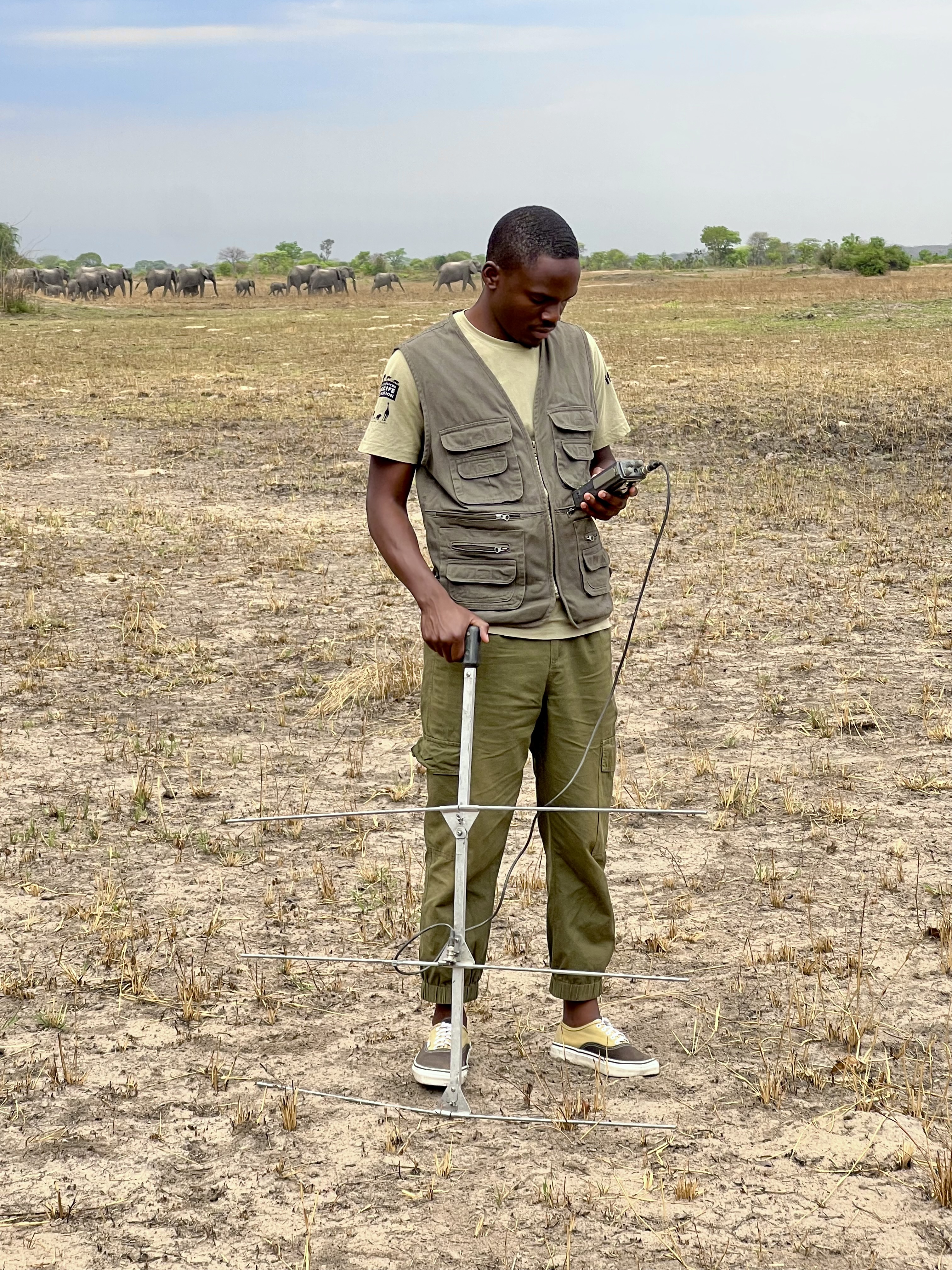
Kasi Amor Kalande
This leads to an exciting blog we did recently, it also includes a spatial map indicating elephant movement tracks of an orphaned elephant who self released himself into the wild (Kafue National Park). Cartography was...
28 January 2025
Careers
Geospatial Guru: Mapping a Better Future

Elsa Carla De Grandi
Remote, United Kingdom
27 January 2025
Link
Early Wildfire Smoke Detection Method Based on EDA

Ahmed Junaid
https://doi.org/10.3390/rs16244684
27 January 2025
https://doi.org/10.1098/rstb.2023.0327
26 January 2025
Link
Nature Climate Change (2025).
26 January 2025
Link

Updated version of the Spatial Database of Planted Trees (SDPT), which differentiates planted forests and tree crops from primary and secondary natural forests. Update has double the number of countries covered
25 January 2025
Link
New Data Provides First Global Annual Picture of Cultivated and Natural Grasslands

Elsa Carla De Grandi
The Land & Carbon Lab developed a new dataset that provides global maps of grassland extent annually from 2000 - 2022 at a 30 m resolution. These maps are critical for tracking changes in grassland ecosystems,...
25 January 2025
Article

Over the years, a large number of developments have gone up in the area that I live in and the municipality is not doing what they should when it comes to upholding the laws that have been put in place to protect the...
20 January 2025
Special Issue: Remote Sensing of Solar Radiation Absorbed by Land Surfaces
19 January 2025
Careers

The Department of Wildlife, Fish, and Environmental Studies (WFE), SLU, Umeå, is looking for a postdoc with strong interests in wildlife conservation technology.
15 January 2025
Link
Google Earth Engine Tutorial-100: Heatwave Mapping
Ahmed Junaid
Google Earth Engine with Amirhossein Ahrari
15 January 2025
June 2025
event

Joel Masselink
October 2025
event

Lacey Hughey and 3 more
November 2025

December 2020

November 2018
126 Products
Recently updated products
| Description | Activity | Replies | Groups | Updated |
|---|---|---|---|---|
| Thanks for adding the photo from the event. Missing Maps is becoming really popular, so tasks get completed quite quickly. We shared the task numbers for people to finish off at... |
|
Geospatial | 8 years 1 month ago | |
| Hi @P.Glover.Kapfer Have you looked at the Environment Agency LiDAR data available under the Open Government Licence and available from http://environment.data.gov.uk/ds/... |
|
Geospatial | 8 years 1 month ago | |
| Hi, I'm a GIS consultant to conservation and research groups, mostly using ArcGIS and, increasingly, QGIS. Lately I've been doing a lot of work with satellite imagery. I... |
|
Geospatial | 8 years 1 month ago | |
| Thanks for the update, @joelm . I wonder why they were cancelled - lack of uptake or something else? I'll see what I can find out. |
|
Geospatial | 8 years 1 month ago | |
| Last week's GIS social topics included: IfSAR and InSAR Interferometric synthetic aperture radar, as used by the German Aerospace Center (DLR) in their new TanDEM-X... |
|
Geospatial | 8 years 1 month ago | |
| The Cambridge Conservation Forum's Conservation GIS group had returned! If you're based in or around Cambridge, and are... |
|
Geospatial | 8 years 2 months ago | |
| The first bi-monthly Conservation GIS social of 2017 will be at The Eagle on Benet Street from 18:00 on Thursday 9th March. This informal... |
|
Geospatial | 8 years 2 months ago | |
| I'm a software developer with the British Trust for Ornithology (BTO), working on online map-based applications for bird surveys (e.g. BirdTrack). My main focus is the... |
|
Geospatial | 8 years 4 months ago | |
| Hey MGatta, I'm working with adehabitatLt as well, i have a good paper on spatial referencing your data and changing your coordinates to UTM, if you want it (by C.J.... |
|
Geospatial | 8 years 5 months ago | |
| Hello all, I came across this website featuring free vector and raster datasets. Feel free to use it! |
|
Geospatial | 8 years 6 months ago | |
| Now the course is officially over, I wonder how people found it? Too difficult, too easy or just right? |
|
Geospatial | 8 years 7 months ago | |
| I'm not affiliated with Google or this event, but I thought it would be of interest to the community. I have previously attended and it... |
|
Geospatial | 8 years 11 months ago |