Group curators

Vance Russell

Ahmed Junaid
- @ahmedjunaid
- | He/His

Elsa Carla De Grandi
Fauna & Flora
Who We Are
Geospatial data and analysis is critical for conservation, from planning to implementation and measuring success. Every day, mapping and spatial analysis are aiding conservation decisions, protected areas designation, habitat management on reserves and monitoring of wildlife populations, to name but a few examples. The Geospatial group focuses on all aspects of this field, from field surveys to remote sensing and data development/analysis to GIS systems.
How to Get Started
Want to learn more about how remote sensing is used in conservation? Check out the first two episodes of this season of Tech Tutors, where our Tutors answer the questions How do I use open source remote sensing data to monitor fishing? and How do I access and visualise open source remote sensing data in Google Earth Engine? You can also check out our Virtual Meetup Archive for a range of panels that overlap with Geospatial topics, or take a look at our Earth Observation 101 lecture series from Dr. Cristian Rossi.
Our Purpose
The WILDLABS Geospatial Group is for conservation practitioners, geospatial analysts, and academics that want to:
- Share geospatial resources, best practices, data, and ideas;
- Network amongst geospatial and data practitioners;
- Create peer learning opportunities;
- Promote the use of free and open-source geospatial software; and
- Improve the use of GIS software and geospatial analyses in conservation management and research.
Group curators

Over 35 years of experience in biodiversity conservation worldwide, largely focused on forests, rewilding and conservation technology. I run my own business assisting nonprofits and agencies in the conservation community


- 5 Resources
- 62 Discussions
- 12 Groups
- @ahmedjunaid
- | He/His
Zoologist, Ecologist, Herpetologist, Conservation Biologist


- 63 Resources
- 7 Discussions
- 26 Groups

Fauna & Flora
Remote Sensing Scientist, Conservation Technology & Nature Markets @ Fauna & Flora - WILDLABS Geospatial Group Co-Lead

- 34 Resources
- 28 Discussions
- 8 Groups

- @ahmed_fuad
- | he/him
CEO & Co-Founder of SpaceIn. Using geospatial data and computer systems to tackle environmental issues.
- 0 Resources
- 0 Discussions
- 3 Groups

- @EllieW
- | She/Her


- 88 Resources
- 123 Discussions
- 14 Groups
Passionate about deciphering patterns from complex datasets, I am a skilled data analyst with a keen eye for detail and a knack for transforming raw information into actionable insights. With a solid foundation in statistical analysis, and data visualization.
- 0 Resources
- 0 Discussions
- 1 Groups

- @billardball8
- | She/Her
- 0 Resources
- 0 Discussions
- 6 Groups

- @Godwin
- | Mr
Student at University of Dar es Salaam Taking Bachelor Degree in Electronics Enginneering
- 0 Resources
- 0 Discussions
- 2 Groups
- @annie2
- | she/her
- 0 Resources
- 0 Discussions
- 16 Groups
- @jahiyaclark
- | she/her
PhD Student at UCSC Ecology and Evolutionary Biology
- 0 Resources
- 0 Discussions
- 6 Groups
- 0 Resources
- 1 Discussions
- 6 Groups
- @Diep
- | Ms


- 8 Resources
- 0 Discussions
- 4 Groups

- @jsevans
- | He, Him
Senior biometrician, with the Nature Conservancy science team, attempting to bring vigor from diverse fields such as landscape ecology, spatial statistics, remote sensing and applied mathematics to answer practical conservation questions.
- 0 Resources
- 0 Discussions
- 7 Groups
- 0 Resources
- 0 Discussions
- 4 Groups

- @shahselbe
- | he/him
Conservify
Conservation Technologist, National Geographic Explorer, and Founder of Conservify and FieldKit
- 0 Resources
- 5 Discussions
- 18 Groups
Link
Collaring Elephants and Post Release Monitoring
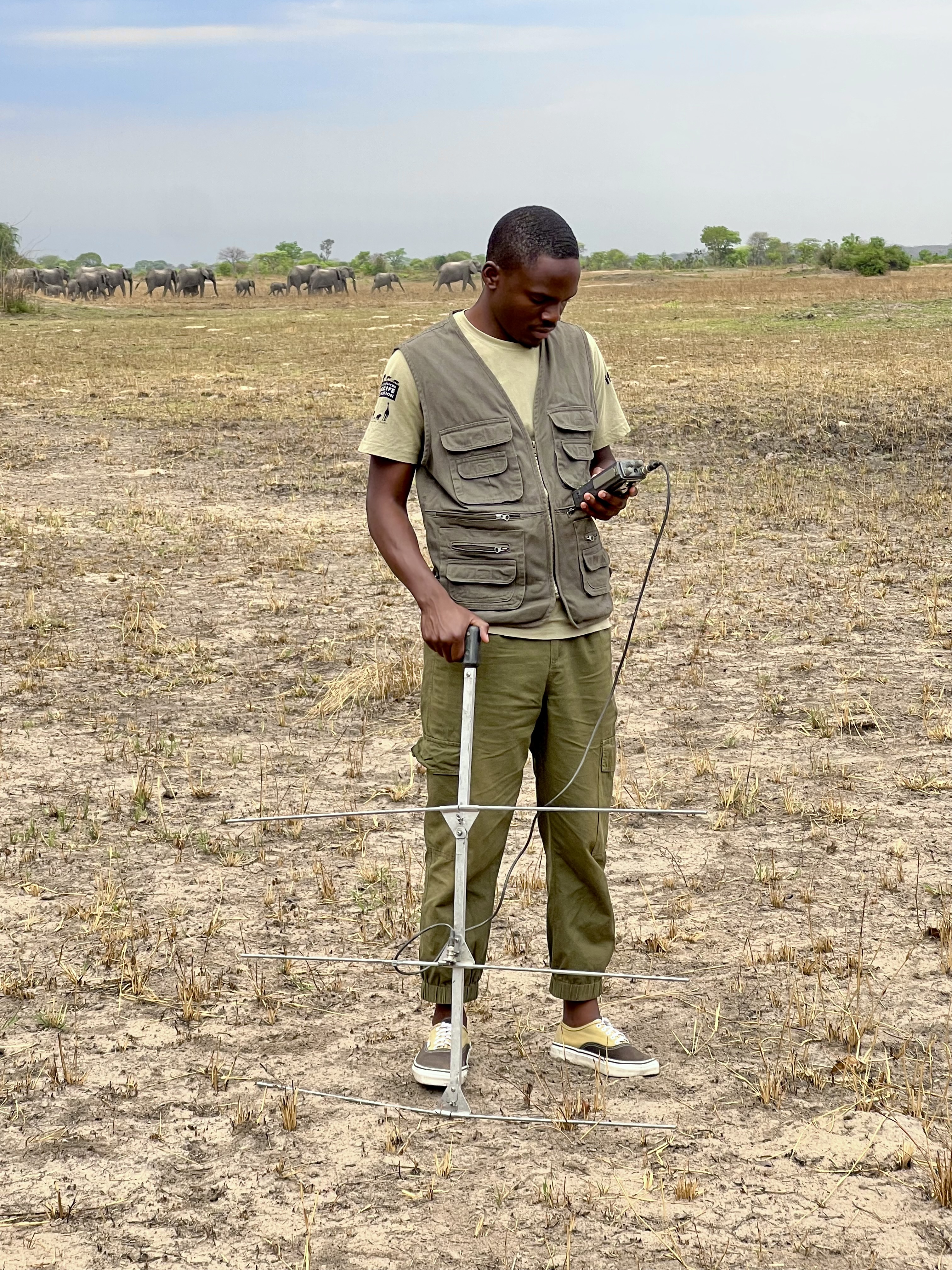
Kasi Amor Kalande
This leads to an exciting blog we did recently, it also includes a spatial map indicating elephant movement tracks of an orphaned elephant who self released himself into the wild (Kafue National Park). Cartography was...
28 January 2025
Careers
Geospatial Guru: Mapping a Better Future

Elsa Carla De Grandi
Remote, United Kingdom
27 January 2025
Link
Early Wildfire Smoke Detection Method Based on EDA

Ahmed Junaid
https://doi.org/10.3390/rs16244684
27 January 2025
https://doi.org/10.1098/rstb.2023.0327
26 January 2025
Link
Nature Climate Change (2025).
26 January 2025
Link

Updated version of the Spatial Database of Planted Trees (SDPT), which differentiates planted forests and tree crops from primary and secondary natural forests. Update has double the number of countries covered
25 January 2025
Link
New Data Provides First Global Annual Picture of Cultivated and Natural Grasslands

Elsa Carla De Grandi
The Land & Carbon Lab developed a new dataset that provides global maps of grassland extent annually from 2000 - 2022 at a 30 m resolution. These maps are critical for tracking changes in grassland ecosystems,...
25 January 2025
Article

Over the years, a large number of developments have gone up in the area that I live in and the municipality is not doing what they should when it comes to upholding the laws that have been put in place to protect the...
20 January 2025
Special Issue: Remote Sensing of Solar Radiation Absorbed by Land Surfaces
19 January 2025
Careers

The Department of Wildlife, Fish, and Environmental Studies (WFE), SLU, Umeå, is looking for a postdoc with strong interests in wildlife conservation technology.
15 January 2025
Link
Google Earth Engine Tutorial-100: Heatwave Mapping
Ahmed Junaid
Google Earth Engine with Amirhossein Ahrari
15 January 2025
June 2025
event

Joel Masselink
October 2025
event

Lacey Hughey and 3 more
November 2025

January 2023
126 Products
Recently updated products
| Description | Activity | Replies | Groups | Updated |
|---|---|---|---|---|
| I am looking for collaborators and donors, or I am offering myself as a collaborator for a Uni / research organisation, for a research... |
|
Geospatial | 4 years ago | |
| Hi Remote Sensing & GIS folks, The Allen Coral Atlas is proud to announce three new mapping regions: Great Barrier Reef & Torres... |
|
Geospatial | 4 years 2 months ago | |
| Hi everyone, Another brilliant webinar series from SCGIS (Society for Conservation GIS) and CBI (Conservation Biology Institute) ... |
|
Geospatial | 4 years 2 months ago | |
| Wow, thanks for sharing, @ZoeLieb ! Great initiative and wonderful opportunity for people to contribute to the atlas. Good luck! |
|
Geospatial | 4 years 2 months ago | |
| Hi everyone! This is a heads up that the Society for Conservation GIS (SCGIS) and Conservation Biology Institute (CBI) are co-hosting a... |
|
Geospatial | 4 years 3 months ago | |
| Hi, Not exactly what you were looking for, but Public Lab have used balloons with cameras to map oil spills. This could be adapted to your purpose. You could... |
|
Geospatial | 4 years 4 months ago | |
| Just came across this newly released paper on using Google Earth Engine in conservation :) |
|
Geospatial | 4 years 5 months ago | |
| Hi Wildlabbers, Welcome back to Tech Tutors for season 2! This season's first episode featured Oceanmind's... |
|
Marine Conservation, Geospatial, Sustainable Fishing Challenges | 4 years 5 months ago | |
| Hi all! WILDLABS intern, Tatjana here. We're working on the second season of Tech Tutors, the webseries that... |
|
Geospatial | 4 years 7 months ago | |
| Webinar/training series: Remote Sensing for Mangroves in Support of the UN Sustainable Development Goals. This training focuses on mapping and monitoring mangroves and how it... |
|
Geospatial | 4 years 7 months ago | |
| Hello Nandini. I did something similar mapping carbon stocks of subsurface peat reserves in upland habitats in the UK. It was pretty basic though. Modelled the 3D volume of peat... |
|
Geospatial | 4 years 10 months ago | |
| There's an Esri webinar TODAY at 14:00 UTC Mapping to Save our Planet's Biodiversity with guest speakers including @... |
|
Geospatial | 5 years 1 month ago |