Who We Are
Geospatial data and analysis is critical for conservation, from planning to implementation and measuring success. Every day, mapping and spatial analysis are aiding conservation decisions, protected areas designation, habitat management on reserves and monitoring of wildlife populations, to name but a few examples. The Geospatial group focuses on all aspects of this field, from field surveys to remote sensing and data development/analysis to GIS systems.
How to Get Started
Want to learn more about how remote sensing is used in conservation? Check out the first two episodes of this season of Tech Tutors, where our Tutors answer the questions How do I use open source remote sensing data to monitor fishing? and How do I access and visualise open source remote sensing data in Google Earth Engine? You can also check out our Virtual Meetup Archive for a range of panels that overlap with Geospatial topics, or take a look at our Earth Observation 101 lecture series from Dr. Cristian Rossi.
Our Purpose
The WILDLABS Geospatial Group is for conservation practitioners, geospatial analysts, and academics that want to:
- Share geospatial resources, best practices, data, and ideas;
- Network amongst geospatial and data practitioners;
- Create peer learning opportunities;
- Promote the use of free and open-source geospatial software; and
- Improve the use of GIS software and geospatial analyses in conservation management and research.
Group curators
Over 35 years of experience in biodiversity conservation worldwide, largely focused on forests, rewilding and conservation technology. I run my own business assisting nonprofits and agencies in the conservation community


- 5 Resources
- 62 Discussions
- 12 Groups
- @ahmedjunaid
- | He/His
Zoologist, Ecologist, Herpetologist, Conservation Biologist


- 63 Resources
- 7 Discussions
- 26 Groups
Fauna & Flora
Remote Sensing Scientist, Conservation Technology & Nature Markets @ Fauna & Flora - WILDLABS Geospatial Group Co-Lead


- 34 Resources
- 28 Discussions
- 8 Groups

- 0 Resources
- 1 Discussions
- 2 Groups
- 0 Resources
- 0 Discussions
- 1 Groups
I work in conservation on integrating the technology out there for custom solutions for partners.
- 0 Resources
- 0 Discussions
- 23 Groups
- @adanger24
- | She/Her
Arribada Initiative
Senior Project Manager and Field Specialist


- 2 Resources
- 16 Discussions
- 10 Groups
- @NatsaniDube
- | Mr
I am a skilled ecologist, animal scientist, conservationist, and environmentalist with experience in wildlife, ecological modelling, statistics, agriculture, and natural resource management. I aim to make a positive contribution to these fields through research and conservation.
- 0 Resources
- 0 Discussions
- 2 Groups
- @NelsonMwangi
- | he/him/his

- 0 Resources
- 0 Discussions
- 2 Groups
Passionate with conservation
- 0 Resources
- 0 Discussions
- 2 Groups
Newcastle University
Senior Lecturer in Biological Modelling. Interests in AI, spatial data, invertebrate ecology, species mapping

- 0 Resources
- 8 Discussions
- 4 Groups
National Geographic Society
Experience utilizing technology to inspire, educate, and create solutions to some of our biggest challenges. Currently, head of the National Geographic Society Exploration Technology Lab, overseeing the development and deployment of research and storytelling technologies.
- 0 Resources
- 0 Discussions
- 16 Groups
- 0 Resources
- 0 Discussions
- 4 Groups
- @ana-alcantara
- | She/her
Postgraduate Biology student interested in bioacoustics, conservation biology and biodiversity
- 0 Resources
- 1 Discussions
- 10 Groups
- @SamuelHertz
- | He/Him/His
I'm a PhD researcher at Royal Holloway University of London (Centre for GeoHumanities) researching modalities of sound-sensing technologies across climate and conservation sciences. Interested in ethics and histories of acoustic monitoring as well as new visualization methods.
- 0 Resources
- 3 Discussions
- 10 Groups
Link
A precise GPS Field App allowing capture of GPS-Photos and GPS-Polygons, powered by Wells for Zoë. The main goal of the App is to enable low-skilled users to capture highly accurate GPS-Data, via an easy sharing process.
21 February 2025
Excellent StoryMap by WCS illustrating results from a recent paper https://conbio.onlinelibrary.wiley.com/doi/10.1111/conl.13080. Main findings: analysis revealed that 17% of peatlands are protected globally—...
21 February 2025
An interesting review?
18 February 2025
Osa Conservation is launching our inaugural cohort of the ‘Susan Wojcicki Research Fellowship’ for 2025, worth up to $15,000 per awardee (award value dependent on project length and number of awards given each year)....
10 February 2025
https://doi.org/10.3390/rs16030583
3 February 2025
Link
rmacrostrat (R Package).
3 February 2025
climetrics (R package).
3 February 2025
https://www.nature.com/articles/s41559-023-02220-8
3 February 2025
Seeking an experienced GIS and Data Officer to oversee geospatial data collection, analysis, and management
31 January 2025
https://doi.org/10.1111/nph.20405
29 January 2025
June 2025
event
event
October 2025
event
November 2025
December 2023
event
126 Products
Recently updated products
| Description | Activity | Replies | Groups | Updated |
|---|---|---|---|---|
| We will be conducting in-person demos of our cutting-edge drone technology in the US this year! 🇺🇸 If you're interested in experiencing... |
|
Animal Movement, Drones, Geospatial, Software Development | 1 year 3 months ago | |
| Am working on similar AI challenge at the moment. Hoping to translate my workflow to wolves in future if needed. We all are little overstretched but it there is no pressing... |
|
Camera Traps, AI for Conservation, Build Your Own Data Logger Community, Data management and processing tools, Marine Conservation, Protected Area Management Tools, Geospatial | 1 year 3 months ago | |
| Real nice video. I'll have another look in the weekend in detail. |
+10
|
Acoustics, Community Base, Protected Area Management Tools, Geospatial, Sensors | 1 year 3 months ago | |
| Hi!I would take a look at Although developed for camera trap imagery, it is by no means restricted to such.Cheers,Lars |
|
Camera Traps, Community Base, Data management and processing tools, Drones, Emerging Tech, Geospatial, Software Development | 1 year 3 months ago | |
| Thank you for this! Will take a look. |
|
Climate Change, Conservation Tech Training and Education, East Africa Community, Geospatial | 1 year 4 months ago | |
| Appreciate that Lars! |
+20
|
Animal Movement, Geospatial | 1 year 4 months ago | |
| Hi Eva, Me and my colleagues run a small NGO based on Yogyakarta in Indonesia, although our projects are spread around the country. One of our active project is working with... |
|
Community Base, Animal Movement, Citizen Science, Climate Change, Human-Wildlife Conflict, Marine Conservation, Geospatial | 1 year 5 months ago | |
| I am not an acoustics person but train and deploy canines in the field. Are you looking for something that records sniff rate and patterns? For GPS I just use a Garmin... |
|
Acoustics, Animal Movement, Geospatial | 1 year 5 months ago | |
| In what ways can drones contribute to linking individuals, communities, and small-scale producers in rural areas, facilitating the support... |
|
Drones, Geospatial | 1 year 5 months ago | |
| @dmorris joined Variety Hour to give us 'a bunch of lightning talks inside a lightning talk'. Check out the recording to get a whirlwind... |
|
AI for Conservation, Drones, Geospatial | 1 year 5 months ago | |
| I'm registered with the TWS2023 app, so feel free to nudge me there as well |
|
Animal Movement, Geospatial, Software Development | 1 year 6 months ago | |
| Digital Earth Africa are doing fantastic work to make Earth Observation data free and accessible, delivering decision-ready products to the... |
|
East Africa Community, Geospatial | 1 year 7 months ago |
Hackathon Opportunity: Vaquita Hacks
10 November 2020 12:00am
Southern Right Whales & Genome and Satellite Technology
5 November 2020 12:00am
Call for Tech Tutors questions: remote sensing
22 October 2020 9:30am
Maps and GIS webinars and virtual events
29 April 2020 2:10pm
15 October 2020 11:20am
Webinar/training series: Remote Sensing for Mangroves in Support of the UN Sustainable Development Goals.
This training focuses on mapping and monitoring mangroves and how it relates to UN sustainable development indicator 6.6.1: Change in the extent of water-related ecosystems over time. Indicator 6.6.1 is used in determining progress toward meeting Sustainable Development Goal 6, which is to “Ensure availability and sustainable management of water and sanitation for all.
Three parts, weekly beginning 5th November 2020 (there are two sessions per day to cover different time zones).
(thanks for flagging @hattiebranson )
Opportunity: Sustainable Development Goals Internship
13 October 2020 12:00am
Webinar: Advances in Fisheries Electronic Monitoring
 SAFET
SAFET
21 September 2020 12:00am
Icarus Starts First Global Research Project
15 September 2020 12:00am
Argos Satellite Tag Open-Source Grant
17 August 2020 12:00am
Webinar: Building location-based narratives
 esri
esri
11 August 2020 12:00am
Sustainable Fishing Challenges: Fishing Vessels of the Future
4 August 2020 12:00am
Training Opportunity: Durrell Conservation Academy
 Durrell Conservation Academy
16 July 2020 12:00am
Estimating carbon from 3d models of mangroves
13 May 2020 1:14pm
26 June 2020 8:10am
Hello Nandini. I did something similar mapping carbon stocks of subsurface peat reserves in upland habitats in the UK. It was pretty basic though. Modelled the 3D volume of peat from uav, field survey, geostatistical analysis and 3D modelling techniques. They simply calculated the carbon stock through the volume present.


Ecology Live: Satellite Imagery, Land Cover Mapping, and More
 British Ecological Society
23 June 2020 12:00am
Webinar: The Next Generation Of Animal Telemetry
 BOEM
BOEM
1 June 2020 12:00am
Era of the Condor: A Species' Future in Recovery
5 May 2020 12:00am
Training Course: Quantitative Analysis of Marine & Coastal Drone Data
 Duke Marine Lab
29 April 2020 12:00am
Talking Tracking with Xerius
23 April 2020 12:00am
WILDLABS Tech Hub: WWF PandaSat
13 April 2020 12:00am
WILDLABS Community Call Recording: Rainforest X-PRIZE
30 March 2020 12:00am
Mapping to Save our Planet's Biodiversity
26 March 2020 12:07pm
Esri - Mapping to Save our Planet's Biodiversity
19 March 2020 10:46am
Competition: Plastic Data Challenge
 Ellie Warren
3 March 2020 12:00am
Hawai'i Conservation Conference
 Hawaiʻi Conservation Alliance
28 February 2020 12:00am
ICEI2020: 11th International Conference on Ecological Informatics
 ICEI 2020
14 February 2020 12:00am
Contour maps, Mapbox and (Q)GIS
4 September 2019 3:05pm
Instant Detect 2.0 emerges
3 September 2019 12:00am
16 November 2023 1:11am
ESA Kickstarter: Environmental Crimes
22 August 2019 12:00am
Conservation and Technology Conference
 Bat Conservation Trust
29 July 2019 12:00am
Meetup: Machine Learning/AI on Earth Observation Data (23 July, London)
21 June 2019 12:00am
Technology companies, FCO, and conservation NGOs come together to scale technology solutions to end wildlife crime
4 June 2019 12:00am







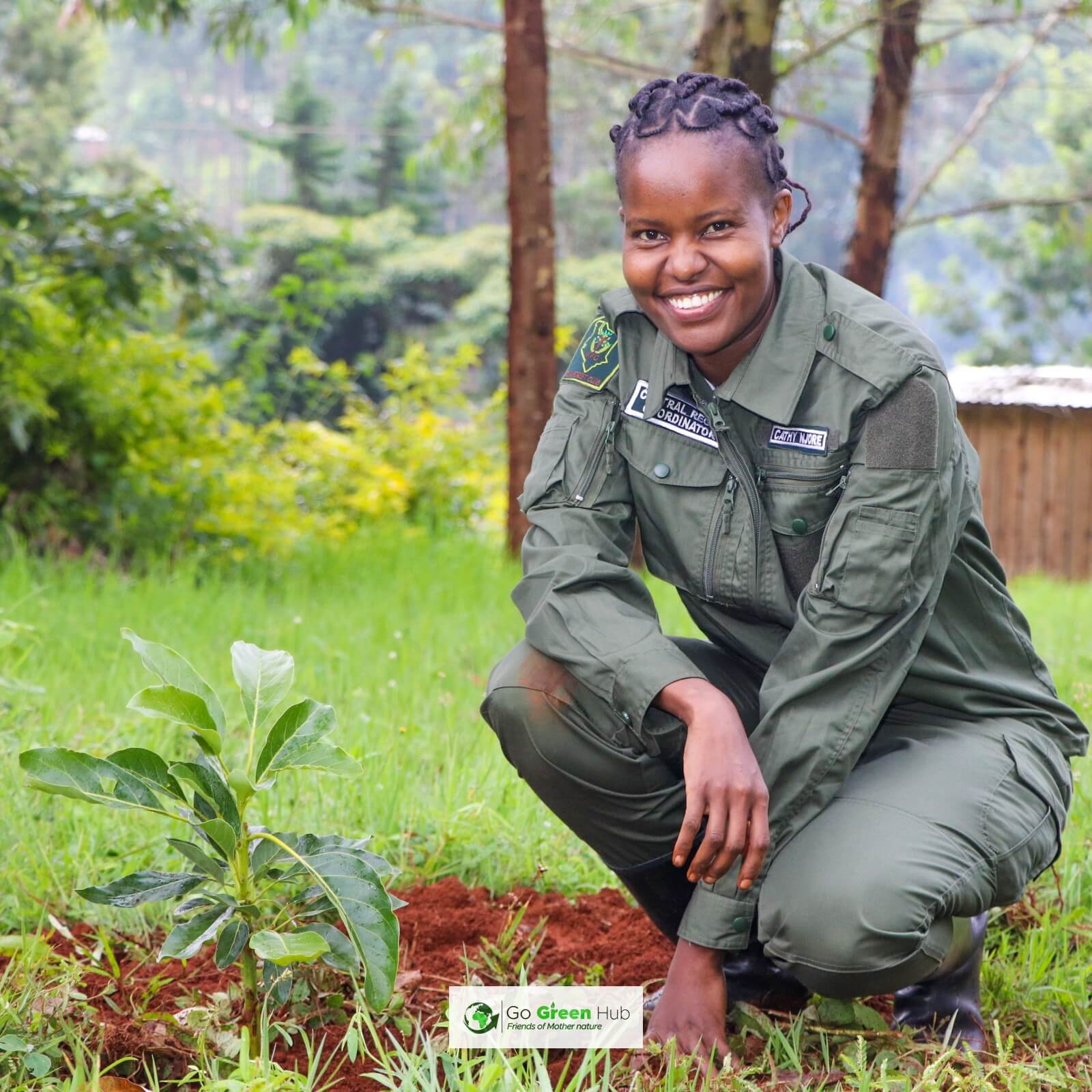




1 May 2020 7:10am
As if that wasn't enough, here's another webinar for you...
Women in GIS
To celebrate the release of the second volume of Women and GIS, Esri Press, in partnership with Esri’s Women’s Enablement & Career Advancement Network (WeCan), is excited to host a webinar focused on celebrating and highlighting the amazing women featured in the book. The recording of this webinar is now available here.
During this webinar, participants will:
• Hear directly from several women featured in Women and GIS Volume 2 about their work
• Learn how women are using GIS to making a difference in government, education, sustainable development, and more
The amazing presenters in this webinar include: Dr. Susan Wolfinbarger, Rhiannan Price, Verónica Nelly Vélez, and Dr. Catherine Nakalembe
To learn more about the women featured in the webinar, and many other amazing women in GIS, check out "Women and GIS, Volume 2: Stars of Spatial Science". This book is available for purchase today at most online retailers. Grab a copy here.