Group curators

Vance Russell

Ahmed Junaid
- @ahmedjunaid
- | He/His

Elsa Carla De Grandi
Fauna & Flora
Who We Are
Geospatial data and analysis is critical for conservation, from planning to implementation and measuring success. Every day, mapping and spatial analysis are aiding conservation decisions, protected areas designation, habitat management on reserves and monitoring of wildlife populations, to name but a few examples. The Geospatial group focuses on all aspects of this field, from field surveys to remote sensing and data development/analysis to GIS systems.
How to Get Started
Want to learn more about how remote sensing is used in conservation? Check out the first two episodes of this season of Tech Tutors, where our Tutors answer the questions How do I use open source remote sensing data to monitor fishing? and How do I access and visualise open source remote sensing data in Google Earth Engine? You can also check out our Virtual Meetup Archive for a range of panels that overlap with Geospatial topics, or take a look at our Earth Observation 101 lecture series from Dr. Cristian Rossi.
Our Purpose
The WILDLABS Geospatial Group is for conservation practitioners, geospatial analysts, and academics that want to:
- Share geospatial resources, best practices, data, and ideas;
- Network amongst geospatial and data practitioners;
- Create peer learning opportunities;
- Promote the use of free and open-source geospatial software; and
- Improve the use of GIS software and geospatial analyses in conservation management and research.
Group curators

Over 35 years of experience in biodiversity conservation worldwide, largely focused on forests, rewilding and conservation technology. I run my own business assisting nonprofits and agencies in the conservation community


- 5 Resources
- 62 Discussions
- 12 Groups
- @ahmedjunaid
- | He/His
Zoologist, Ecologist, Herpetologist, Conservation Biologist


- 63 Resources
- 7 Discussions
- 26 Groups

Fauna & Flora
Remote Sensing Scientist, Conservation Technology & Nature Markets @ Fauna & Flora - WILDLABS Geospatial Group Co-Lead

- 34 Resources
- 28 Discussions
- 8 Groups
- @KellyFaller
- | she/her/hers
Rutgers University
Lead Estuary Science Coordinator at the Partnership for the Delaware Estuary and Masters Student at Rutgers University in the Department of Ecology and Evolution. Using bioacoustics in tidal marsh ecosystems for restoration and conservation.

- 0 Resources
- 3 Discussions
- 14 Groups

Student at Texas A&M. Electronic hobbyist, audiomoth user
- 0 Resources
- 0 Discussions
- 4 Groups
Over 35 years of experience in biodiversity conservation worldwide, largely focused on forests, rewilding and conservation technology. I run my own business assisting nonprofits and agencies in the conservation community
- 5 Resources
- 62 Discussions
- 12 Groups

- @roxirisa
- | roxi
Biologist I consider myself a data scientist with a passion for nature and with an extensive experience in species distribution modeling, handling large data sets from different sources such as gbif, eBird, xeno-canto, Worldclim, Terraclimate, ocean color e NASA among others. But
- 0 Resources
- 0 Discussions
- 9 Groups

- @Halima_Hassan
- | She
Halima Hassan is a geographer, environmentalist, educator, and climate change activist who is passionate about bridging science, community, and conservation.
- 0 Resources
- 0 Discussions
- 6 Groups
- @a.zubiria
- | she/her
- 0 Resources
- 2 Discussions
- 11 Groups

- 0 Resources
- 0 Discussions
- 14 Groups

- 0 Resources
- 1 Discussions
- 7 Groups

- 0 Resources
- 0 Discussions
- 15 Groups
- @otgonbayartm
- | He / His
Many thanks to WILDLABS. This community aligns precisely with my professional interest in applying IT expertise to nature conservation.

- 0 Resources
- 1 Discussions
- 7 Groups
- 0 Resources
- 0 Discussions
- 13 Groups
Fauna & Flora
Remote Sensing Scientist, Conservation Technology & Nature Markets @ Fauna & Flora - WILDLABS Geospatial Group Co-Lead
- 34 Resources
- 28 Discussions
- 8 Groups
Link
FLORITY

Elsa Carla De Grandi
A precise GPS Field App allowing capture of GPS-Photos and GPS-Polygons, powered by Wells for Zoë. The main goal of the App is to enable low-skilled users to capture highly accurate GPS-Data, via an easy sharing process.
21 February 2025
Link
Saving Peatlands, Securing Our Climate Future
Elsa Carla De Grandi
Excellent StoryMap by WCS illustrating results from a recent paper https://conbio.onlinelibrary.wiley.com/doi/10.1111/conl.13080. Main findings: analysis revealed that 17% of peatlands are protected globally—...
21 February 2025
Link
Interesting package?
18 February 2025
Link
An interesting review?
18 February 2025
Funding

Osa Conservation is launching our inaugural cohort of the ‘Susan Wojcicki Research Fellowship’ for 2025, worth up to $15,000 per awardee (award value dependent on project length and number of awards given each year)....
10 February 2025
Link

https://doi.org/10.3390/rs16030583
3 February 2025
Link
rmacrostrat (R Package).
3 February 2025
climetrics (R package).
3 February 2025
Link
https://www.nature.com/articles/s41559-023-02220-8
3 February 2025
Careers
Rewilding Affric Highlands – GIS and Data Officer

Theresa Stratmann
Seeking an experienced GIS and Data Officer to oversee geospatial data collection, analysis, and management
31 January 2025
Link
https://doi.org/10.1111/nph.20405
29 January 2025
June 2025

event

Joel Masselink
October 2025
event

Lacey Hughey and 3 more
November 2025

February 2025
event

Léa Smadja
event

Indepth Research Institute
event
Indepth Research Institute
January 2025
event
Indepth Research Institute
126 Products
Recently updated products
| Description | Activity | Replies | Groups | Updated |
|---|---|---|---|---|
| Hi Matthew Wow, what an amazing project! It is incredible how you have managed to figure out some of the complexities of combining underwater imagery with UAV imagery. I am... |
|
Drones, Geospatial, Marine Conservation, Protected Area Management Tools | 5 months ago | |
| Thankyou so much. I'll definitely apply these solutions |
|
Geospatial | 5 months 1 week ago | |
| Very helpful. |
|
Geospatial | 5 months 2 weeks ago | |
| This is a thread for anyone who has questions about AI for Conservation Office Hours 2025.We're once again teaming up with Dan Morris from... |
|
Acoustics, AI for Conservation, Camera Traps, Community Base, Geospatial | 6 months 1 week ago | |
| I actually made some models with some learners and it is helpful with lower primary. Great idea. Hadn't thought of mentioning that. |
|
East Africa Community, Climate Change, Geospatial | 7 months ago | |
| Hi Heinrich,The chapter is here. Feedback welcome! |
|
Geospatial | 7 months 1 week ago | |
| You're welcome, Liz! |
|
Geospatial | 7 months 2 weeks ago | |
| Hello Sir, Thank yo so much for sharing such an insightful message, as you said I have got some wonderful resources from other community members, so yes, just want to get... |
+17
|
Geospatial | 7 months 2 weeks ago | |
| That is great |
|
Geospatial | 7 months 3 weeks ago | |
| This is great, thanks for sharing Vance. It looks very comprehensive and includes geemap. Amazing! This will save a lot of time and headaches. Would be great to have some reviews... |
|
Geospatial | 7 months 3 weeks ago | |
| Hi Phil, Thanks for sharing - this is really interesting work! Seems like a cool integration of ground-based (or ocean-based) data and satellite data, with a community... |
|
Geospatial, Acoustics, Camera Traps, eDNA & Genomics | 7 months 4 weeks ago | |
| Monitoring may be the most written about but least implemented (properly) topic in conservation. It primarily comes down to three reasons:... |
|
Geospatial | 8 months 1 week ago |


Climate changes in wildlife protected areas

14 August 2024 11:26am

14 August 2024 8:15pm
Great minds think alike. In awe that some of our questions synchronized🤭...thanks so much tina♥️
11 February 2025 5:17pm
I agree Adventina. I am also interested in "How has the climate variability affected the trend of BAT species in the ecosystem? and respond on their increase and (or) extinction.
@Norah, I am also interested in the findings regardless of the species you pick. In 2022 - 2023 we created a climate database for an NGO project in Amhara, Ethiopia. It would be cool to come up with a climate variability databasa for the park.
Nature Tech intern
Tropical fieldwork funding! Up to $15,000 -Susan Wojcicki Fellowship
10 February 2025 7:01pm
🌍 explorer.land Beginners Webinar: Create your first project and funding opportunity

6 February 2025 1:05pm
rmacrostrat: An R package for accessing and retrieving data from the Macrostrat geological database
Freshwater fish diversity in the western Amazon basin shaped by Andean uplift since the Late Cretaceous
3 February 2025 5:24am
Freshwater fish diversity in the western Amazon basin shaped by Andean uplift since the Late Cretaceous | Nature Ecology & Evolution
South America is home to the highest freshwater fish biodiversity on Earth, and the hotspot of species richness is located in the western Amazon basin. The location of this hotspot is enigmatic, as it is inconsistent with the pattern observed in river systems across the world of increasing species richness towards a river’s mouth. Here we investigate the role of river capture events caused by Andean mountain building and repeated episodes of flooding in western Amazonia in shaping the modern-day richness pattern of freshwater fishes in South America, and in Amazonia in particular. To this end, we combine a reconstruction of river networks since 80 Ma with a mechanistic model simulating dispersal, allopatric speciation and extinction over the dynamic landscape of rivers and lakes. We show that Andean mountain building and consequent numerous small river capture events in western Amazonia caused freshwater habitats to be highly dynamic, leading to high diversification rates and exceptional richness. The history of marine incursions and lakes, including the Miocene Pebas mega-wetland system in western Amazonia, played a secondary role. Reconstructing river networks over the past 80 Ma reveals the role of Andean uplift in creating a dynamic habitat leading to increased fish species diversity in western Amazonia.

Rewilding Affric Highlands – GIS and Data Officer
31 January 2025 9:38am
Deliver stronger VM0047-aligned Nature-Based Solutions

31 January 2025 9:30am
Collaring elephants and post-release monitoring
29 January 2025 8:18am
Collaring Elephants and Post Release Monitoring
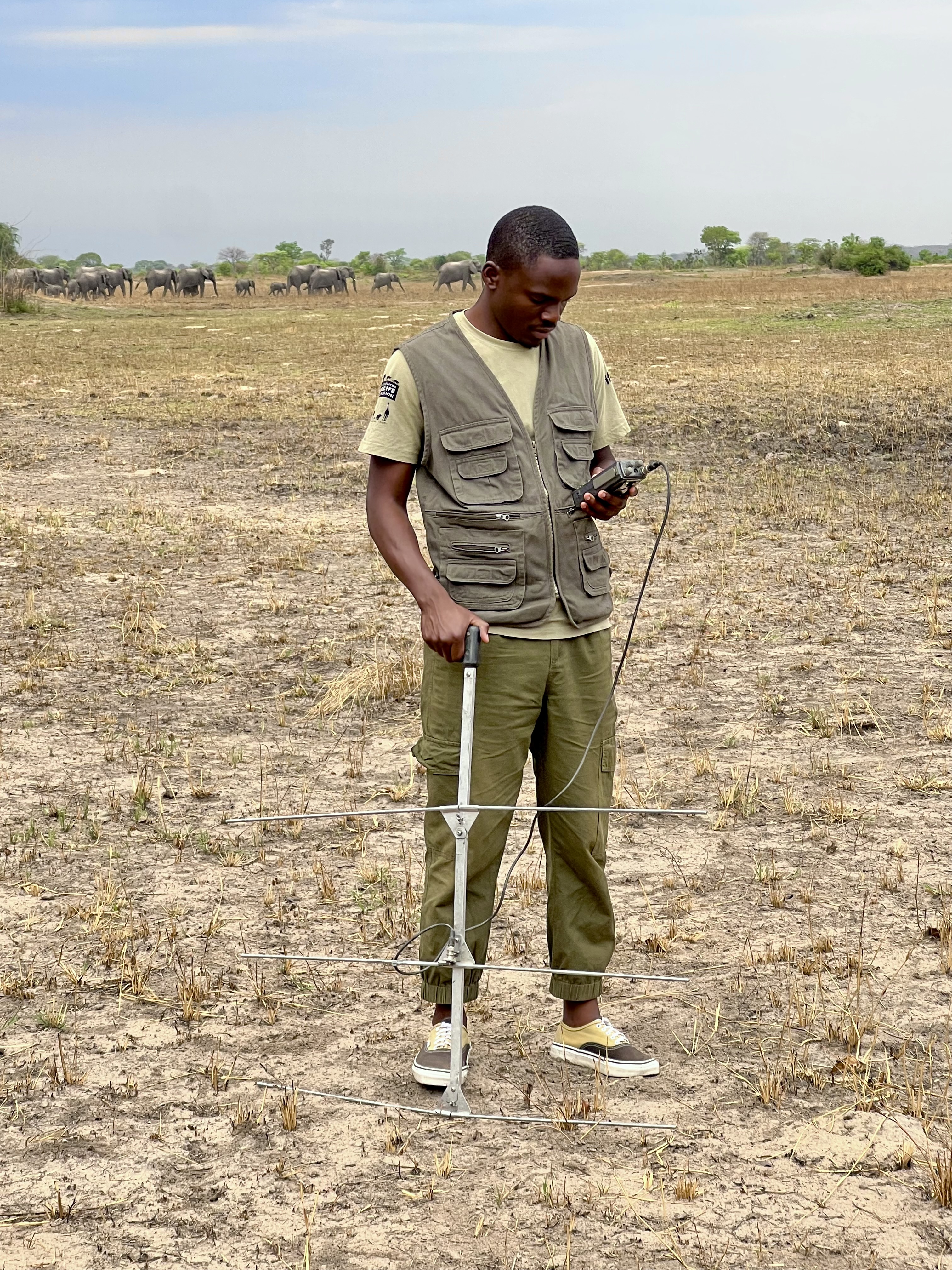
28 January 2025 3:16pm
collaring elephants and post-release monitoring
In Post Release Monitoring (the monitoring of animals after release back into the wild), the invaluable insights that we gain from GPS-enabled collars help us to:

Help Shape the Future of the WILDLABS Geospatial Group!
7 December 2024 2:43pm
7 January 2025 5:49pm
Happy New Year Geospatial community! Don't forget to fill in the survey. Closing date is 19th January.
We'd love to hear from you!
27 January 2025 8:24pm
We're extending the survey deadline! Please don't forget to let us know if you would like to speak about your work at one of the future Geospatial community events.
Many thanks!
Wildfires offset the increasing but spatially heterogeneous Arctic–boreal CO2 uptake
26 January 2025 2:41pm
Wildfires offset the increasing but spatially heterogeneous Arctic–boreal CO2 uptake | Nature Climate Change
The Arctic–Boreal Zone is rapidly warming, impacting its large soil carbon stocks. Here we use a new compilation of terrestrial ecosystem CO2 fluxes, geospatial datasets and random forest models to show that although the Arctic–Boreal Zone was overall an increasing terrestrial CO2 sink from 2001 to 2020 (mean ± standard deviation in net ecosystem exchange, −548 ± 140 Tg C yr−1; trend, −14 Tg C yr−1; P < 0.001), more than 30% of the region was a net CO2 source. Tundra regions may have already started to function on average as CO2 sources, demonstrating a shift in carbon dynamics. When fire emissions are factored in, the increasing Arctic–Boreal Zone sink is no longer statistically significant (budget, −319 ± 140 Tg C yr−1; trend, −9 Tg C yr−1), and the permafrost region becomes CO2 neutral (budget, −24 ± 123 Tg C yr−1; trend, −3 Tg C yr−1), underscoring the importance of fire in this region. How the carbon stocks of the Arctic–Boreal Zone change with warming is not well understood. Here the authors show that wildfires and large regional differences in net carbon fluxes offset the overall increasing CO2 uptake.
Updated Planted Trees Map Reaches Near-Global Coverage

25 January 2025 4:41pm
Updated Planted Trees Map Reaches Near-Global Coverage
A new version of the Spatial Database of Planted Trees provides near-global coverage and other key updates.

New Data Provides First Global Annual Picture of Cultivated and Natural Grasslands
25 January 2025 2:22pm
New Data Provides First Global Annual Picture of Cultivated and Natural Grasslands
This first global data on grassland extent offers the first look at where, how much and what kind of grasslands there are around the world.

Can/Should UAVs Be The Answer To Urbanisation & Wildlife Conflicts

20 January 2025 11:00am
Impact of Wildfires on Land Surface Cold Season Climate in the Northern High-Latitudes: A Study on Changes in Vegetation, Snow Dynamics, Albedo, and Radiative Forcing
19 January 2025 12:08pm
BIOSPACE 2025

Nature Tech Unconference

Drone specific GIS training online for Conservationists
9 January 2025 11:12am


EARTHVISION 2025
Postdoc on camera trapping, remote sensing, and AI for wildlife studies
15 January 2025 4:53pm
GIS Simplified
15 January 2025 3:06pm
GIS Simplified - YouTube
🌐 Welcome to GIS Simplified - Your Gateway to the Geospatial World!Are you fascinated by the intricate dance between geography, technology, and data? Do you...

14 August 2024 5:27pm
Hi Norah!
This is a great concern! Kudos!
Climate change data especially for such a long time can help us answer a lot of questions including the few listed below:
I would love to read a paper from the data you have! Very resourceful!
Break the leg!