Group curators

Vance Russell

Ahmed Junaid
- @ahmedjunaid
- | He/His

Elsa Carla De Grandi
Fauna & Flora
Who We Are
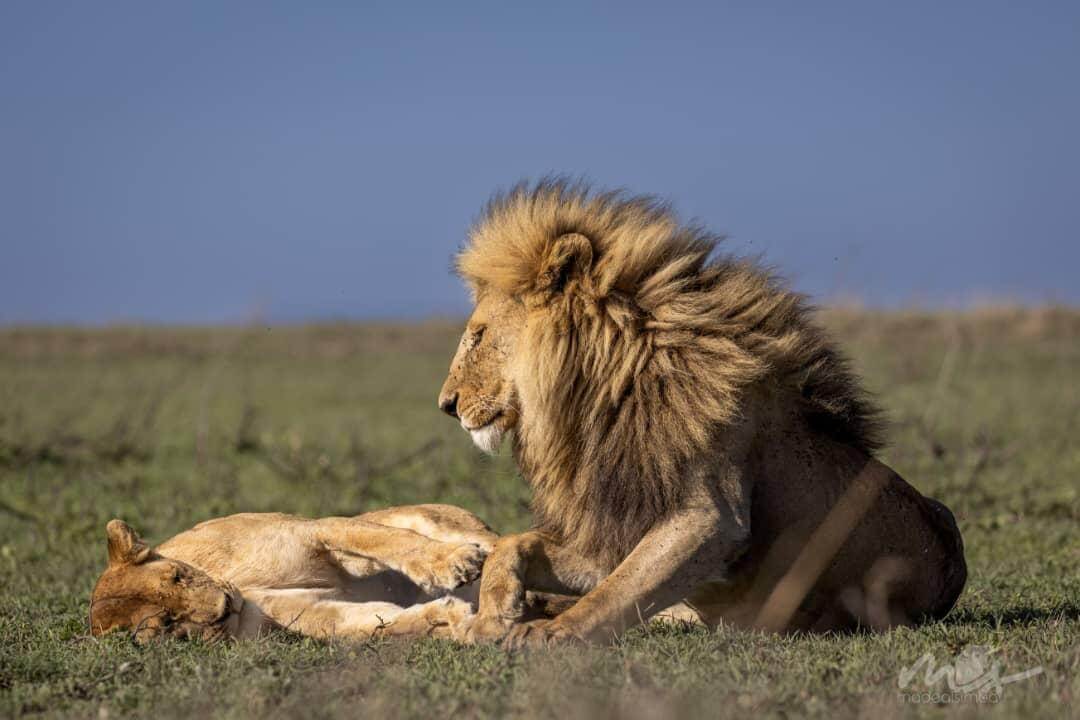
Geospatial data and analysis is critical for conservation, from planning to implementation and measuring success. Every day, mapping and spatial analysis are aiding conservation decisions, protected areas designation, habitat management on reserves and monitoring of wildlife populations, to name but a few examples. The Geospatial group focuses on all aspects of this field, from field surveys to remote sensing and data development/analysis to GIS systems.
How to Get Started
Want to learn more about how remote sensing is used in conservation? Check out the first two episodes of this season of Tech Tutors, where our Tutors answer the questions How do I use open source remote sensing data to monitor fishing? and How do I access and visualise open source remote sensing data in Google Earth Engine? You can also check out our Virtual Meetup Archive for a range of panels that overlap with Geospatial topics, or take a look at our Earth Observation 101 lecture series from Dr. Cristian Rossi.
Our Purpose
The WILDLABS Geospatial Group is for conservation practitioners, geospatial analysts, and academics that want to:
- Share geospatial resources, best practices, data, and ideas;
- Network amongst geospatial and data practitioners;
- Create peer learning opportunities;
- Promote the use of free and open-source geospatial software; and
- Improve the use of GIS software and geospatial analyses in conservation management and research.
Group curators

Over 35 years of experience in biodiversity conservation worldwide, largely focused on forests, rewilding and conservation technology. I run my own business assisting nonprofits and agencies in the conservation community


- 5 Resources
- 62 Discussions
- 12 Groups
- @ahmedjunaid
- | He/His
Zoologist, Ecologist, Herpetologist, Conservation Biologist


- 63 Resources
- 7 Discussions
- 26 Groups

Fauna & Flora
Remote Sensing Scientist, Conservation Technology & Nature Markets @ Fauna & Flora - WILDLABS Geospatial Group Co-Lead

- 34 Resources
- 28 Discussions
- 8 Groups
Author of Conservation Biology in Sub-Saharan Africa
- 0 Resources
- 0 Discussions
- 1 Groups

working on the digital transformation for environment, climate, and conservation
- 0 Resources
- 5 Discussions
- 2 Groups
- @raquelgo
- | (she/her/hers)
- 0 Resources
- 0 Discussions
- 17 Groups

- @evan21
- | She/Her
University of St Andrews
Final Year Biology & Geography Undergraduate at the University of St Andrews
- 0 Resources
- 1 Discussions
- 7 Groups

Software Engineer


- 0 Resources
- 5 Discussions
- 10 Groups

- @Brickles
- | He/Him
- 0 Resources
- 0 Discussions
- 7 Groups
American Museum of Natural History
- 1 Resources
- 8 Discussions
- 10 Groups

My main interest is in the application of geospatial technology for ecology and conservation

- 0 Resources
- 12 Discussions
- 6 Groups
- @jcaris
- | hi/him
Smith College & Cummings School of Veterinary Medicine at Tufts University
Senior Drone Data Scientist, Tufts University; Former Director of the Spatial Analysis Lab at Smith College. Teaching, learning, and collaborating with brilliant students & faculty
- 0 Resources
- 0 Discussions
- 9 Groups

- @crazybirdguy
- | Him
Field Biologist at Yayasan Cikananga Konservasi Terpadu, Indonesia, with experience and interest mainly in ornithology, citizen science and bioaccoustic
- 0 Resources
- 9 Discussions
- 12 Groups

PhD Candidate in autonomous marine biodiversity modelling

- 0 Resources
- 11 Discussions
- 8 Groups
FruitPunch AI
CTO and Founder of FruitPunch AI


- 0 Resources
- 4 Discussions
- 11 Groups
Article
Tech4Wildlife Leaders: Understanding Endangered Primate Populations

Tasmin Alexander
Read our interview with Tasmin Alexander, early career conservationist and member of the CLP Future Conservationist Award-winning Preuss's Monkey Project research team. Working in the Obudu Plateau in Nigeria, this team...
2 June 2021
Article
New Papers: Methods in Ecology and Evolution
British Ecological Society
A new issue of Methods in Ecology and Evolution from the British Ecological Society is now available for download. In this issue, WILDLABS readers will enjoy research involving conservation dogs and non-invasive...
23 April 2021
Article
New Papers: Remote Sensing in Ecology and Conservation
Zoological Society London (ZSL)
ZSL's Remote Sensing in Ecology and Conservation journal has released new research for early view before inclusion in an issue. See the full list of recent open access research papers on RSEC.
22 April 2021
Article
Using AIS Data to Investigate the World’s Fishing Ports
Max Schofield
How can remotely monitoring fishing vessels allow us to prevent illegal and unsustainable fishing practices? Check out this blog post from Max Schofield, originally shared on OceanMind, to learn about how AIS (Automated...
2 February 2021
Article
Press Release: BAS Giant Iceberg Mission
British Antarctic Survey
A research mission to determine the impact of the giant A-68a iceberg on one of the world’s most important ecosystems using underwater robotic gliders gets underway this January. A team of scientists, led by British...
13 January 2021
Article
British Antarctic Survey: Monitoring Whales From Space
British Antarctic Survey
Scientists have found that studying high-resolution images of whales from space is a feasible way to estimate their populations. A team led by British Antarctic Survey (BAS) compared satellite images to data collected...
21 December 2020
Article
Announcing the 2020 Geospatial Conservation Annual Report

The Nature Conservancy
The Nature Conservancy's 2020 Geospatial Conservation Annual Report is now available to download! Featuring 25 case studies focused on the impact of geospatial science on conservation work, maps showcasing conservation...
17 December 2020
Article
FIS Call for Expressions of Interest (closed)

WILDLABS Team
WILDLABS community members are invited to submit an Expression of Interest to Fisheries Innovation Scotland (FIS) to participate in two research projects involving conservation tech's role in the future of sustainable...
8 December 2020
Article
Hackathon Opportunity: Vaquita Hacks
WILDLABS Team
Do you have innovative #tech4wildlife ideas that could save one of the most endangered species on earth from extinction? Apply now to join Vaquita Hack, a hackathon for students and early career conservationists! This...
10 November 2020
Article
Southern Right Whales & Genome and Satellite Technology
WILDLABS Team
In this news article by Rutherford Discovery Fellow Emma Carroll, we learn about how genomics and satellite data are helping researchers gain a new understanding of southern right whale population recovery, migration...
5 November 2020
Article
Opportunity: Sustainable Development Goals Internship
United Nations Environment Program World Conservation Monitoring Centre (UNEP WCMC)
UN Environment Programme World Conservation Monitoring Centre seeks an intern to contribute to the mapping of nature’s contribution to the Sustainable Development Goals. This position will have the opportunity to work...
13 October 2020
Article
Icarus Starts First Global Research Project

Max Planck Institute of Animal Behavior
We've got exciting news from the Icarus project, a satellite-based animal monitoring system: following a successful test phase this year, the first cross-continental scientific pilot project is set to begin this...
15 September 2020
June 2025

event

Joel Masselink
October 2025
event

Lacey Hughey and 3 more
November 2025

November 2023

126 Products
Recently updated products
| Description | Activity | Replies | Groups | Updated |
|---|---|---|---|---|
| Hi there! Funnily enough, I have been attending ARSET Trainings for years - I think I've participated in about 80% of the ones they have offered over that time - they are awesome... |
|
Geospatial | 8 months 1 week ago | |
| Thank you so much for your advice.🙏 |
|
Geospatial | 8 months 1 week ago | |
| Hi @benweinstein !Surely a general detector might be very useful for detecting objects in aerial imagery! Maybe something similar to what MegaDetector does in camera trap images,... |
|
AI for Conservation, Open Source Solutions, Protected Area Management Tools, Drones, Geospatial | 8 months 1 week ago | |
| Very interesting topic |
|
Citizen Science, Community Base, Open Source Solutions, Geospatial | 9 months 2 weeks ago | |
| Wonderfully |
|
Geospatial | 9 months 2 weeks ago | |
| Thanks!I'm definitely looking at Smart and EarthRanger for overall management eventually, but for now I just want to track what we have better - especially as a base map to... |
|
Geospatial, Data management and processing tools | 9 months 4 weeks ago | |
| @cmwainaina please take a look |
|
Animal Movement, AI for Conservation, Camera Traps, Connectivity, Data management and processing tools, East Africa Community, Emerging Tech, Ethics of Conservation Tech, Human-Wildlife Conflict, Marine Conservation, Protected Area Management Tools, Geospatial, Sensors, Software Development | 10 months ago | |
| Thanks, Cathy! |
|
Geospatial | 10 months 2 weeks ago | |
| Tagging @Chelsea_Smith so she sees this :) |
|
Geospatial, Data management and processing tools, Protected Area Management Tools | 11 months ago | |
| Hi Vance,I just wanted to assign landcover types to each point data. But you mentioning temporal change of landcover, that will be best analysis to do.Thank you so much,Sarah. |
|
Geospatial | 11 months 1 week ago | |
| Unfortunately I may fail to deliver so I cannot take it up. Am off net at times for two weeks straight. But excited about everything GIS so I follow keenly. Thank you... |
|
Geospatial | 11 months 3 weeks ago | |
| Thank you Carly, I will definitely take a look. |
|
Acoustics, Animal Movement, Climate Change, Conservation Tech Training and Education, Data management and processing tools, Geospatial, Software Development | 1 year 2 months ago |