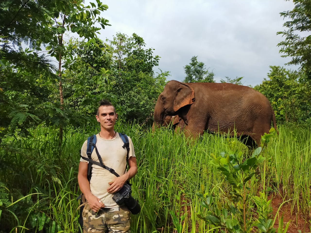
In recent years, drone technologies have been explored for a range of applications in conservation including (but not limited to) mapping, biodiversity inventories, antipoaching patrols, wildlife tracking, and fire monitoring. The rise of customizable, open-source drones like those of ArduPilot and OpenROV hold promise for more effective conservation applications, and combined with other monitoring sensors and devices, they are capable of collecting high-resolution data quickly, noninvasively, and at relatively low cost.
However, challenges remain in putting these tools to use. A recent paper reviewing 256 conservation drone projects highlighted some of these major obstacles, ranging from unintended social and ecological consequences of drone operations to still prohibitive costs, both in terms of hardware and in terms of storing and processing large volumes of data. The longstanding challenge of power/battery life remains as well.
If you're considering trying out drones for yourself, and want to explore the possibilities and understand the major conversations happening around this technology, check out these beginner's resources and conversations from across the WILDLABS platform:
Three Resources for Beginners:
- Conservation Technology User Guidelines Issue 5: Drones, World Wildlife Fund | Drones, best practices, ethics, regulations, case studies
- WILDLABS Virtual Meetup Recording: Drones, Craig Elder, Dr. Claire Burke, and Gabriel Levin | Drones, thermal camera, wildlife crime, ML, biologging
- New Paper: Drones and Bornean Orangutan Distribution, Sol Milne | Drones, data analysis, citizen science, community science, primates
Three Forum Threads for Beginners:
- Curious about radio-tracking with drones? | Wildlife Drones, Biologging (5 replies)
- Drones for GIS Best practice Document | Adrian Hughes, Drones (10 replies)
- WWF Conservation Technology Series: Drones in Conservation | Aurélie Shapiro, Drones (7 replies)
Three Tutorials for Beginners:
- How do I use a drone to capture radio-tracking data? | Debbie Saunders, Tech Tutors
- How do I choose the right drone for my conservation goals? | Shashank Srinivasan, Tech Tutors
- How do I strategically allocate drones for conservation? | Elizabeth Bondi, Tech Tutors
Want to know more about using drones, and learn from experts in the WILDLABS community? Make sure you join the conversation in our Drones group!
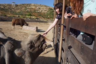
*Header photo: Parker Levinson, Point Blue Conservation Science

Aeracoop & Dronecoria
Computer engineer, Drone Pilot, Seed researcher, Wild Tech Maker


- 3 Resources
- 37 Discussions
- 11 Groups

- @Durgananda
- | He
- 0 Resources
- 0 Discussions
- 20 Groups

- @hjayanto
- | He/Him
KONKLUSI (Kolaborasi Inklusi Konservasi - Yayasan)
Your friendly Indo-Crocky-Croc


- 0 Resources
- 44 Discussions
- 17 Groups

- @MStarking
- | she/her/hers
Ecologist and conservation researcher, currently an Assistant Professor at University of Michigan-Flint, research areas include landscape ecology, forestry and wildlife interactions, wildlife habitat relationships, spatial ecology, GIS.
- 0 Resources
- 1 Discussions
- 15 Groups

Tech for Conservation

- 0 Resources
- 2 Discussions
- 13 Groups

- 0 Resources
- 1 Discussions
- 5 Groups

Technologist and Visual storyteller focusing on social, conservations issues.

- 1 Resources
- 42 Discussions
- 17 Groups

- @Valentin_Stefan
- | He/Him
Interested in emerging technologies related to camera traps for pollinators
- 0 Resources
- 4 Discussions
- 18 Groups

- 1 Resources
- 1 Discussions
- 11 Groups
Interested in bioacoustics
- 0 Resources
- 0 Discussions
- 14 Groups

- @tomipiriyev
- | mr
I am maker , passionate in electronics, developer of Loko offline GPS tracker
- 0 Resources
- 5 Discussions
- 6 Groups

- @MandyEyrich
- | She/Her
University of Florida (UF)
Bridging industries with 15+ years of cross-sector expertise specializing in user-centric technology and product strategy, UX research, UX/UI design, process optimization, and end-to-end agile product development moving from ideation to iteration.
- 0 Resources
- 0 Discussions
- 27 Groups
Article
Nature Tech for Biodiversity Sector Map launched!

Carly Batist and 1 more
Conservation International is proud to announce the launch of the Nature Tech for Biodiversity Sector Map, developed in partnership with the Nature Tech Collective!
1 April 2025
Link
deadtrees.earth

Elsa Carla De Grandi
An open database for accessing, contributing, analyzing, and visualizing remote sensing-based tree mortality data. Beta version
9 March 2025
Funding
Osa Conservation is launching our inaugural cohort of the ‘Susan Wojcicki Research Fellowship’ for 2025, worth up to $15,000 per awardee (award value dependent on project length and number of awards given each year)....
10 February 2025
Careers
SPOTS Internship Programme
Georg Strunck
Strategic Protection Of Threatened Species (NGO) is looking for engineering interns at the Dinokeng Game Reserve, South Africa
6 February 2025
Article

Over the years, a large number of developments have gone up in the area that I live in and the municipality is not doing what they should when it comes to upholding the laws that have been put in place to protect the...
20 January 2025
Careers
New PhD - Drones, seaweeds & climate change

Chris Yesson
A PhD opportunity for anyone interested in coastal drone surveys, seaweeds, climate change and the chance to do a whole bunch of different computer modelling including AI-driven species distribution modelling to assess...
30 December 2024
Link
AmazonTEC: 4D Technology for Biodiversity Monitoring in the Amazon (English)

Elsa Carla De Grandi
Interesting webinar on the use of advanced technologies(e.g. Artificial Intelligence, cloud computing, drones, camera traps and satellites) for biodiversity monitoring in the Amazon. Also available in Spanish.
25 November 2024
Careers
Computer Vision Developer

Ben Weinstein
We are hiring a computer vision developer at the University of Florida!
20 November 2024
Link
Great use of drones from Fauna&Flora's team
7 November 2024
Link
deadtrees.earth is an open-access platform hosting more than a thousand centimeter-resolution orthophotos, more than 300,000 ha. Combined with Earth observation data and machine learning it will enable to uncover tree...
2 November 2024
Careers

Seeking expressions of interest from PhD candidates to join the MAVE Lab at the University of Wollongong, NSW, Australia
26 August 2024
January 2025
event

Wildlife Drones
event
Ben Weinstein
December 2024
event
Agripina Cletus and 1 more
October 2024
33 Products
Recently updated products
| Description | Activity | Replies | Groups | Updated |
|---|---|---|---|---|
| Hi all! I recently did a little case study using RGB drone data and machine learning to quantify plant health in strawberries. I wanted to... |
|
Citizen Science, Conservation Tech Training and Education, Drones, Geospatial | 1 week 1 day ago | |
|
|
Latin America Community, Acoustics, AI for Conservation, Camera Traps, Drones, Early Career | 2 weeks 6 days ago | ||
| Hi Adam! Sounds like you have your work cut out for you. I have not used radar systems or AI systems for this sort of detection, but there are methods using change detection... |
|
AI for Conservation, Drones, Wildlife Crime | 1 month ago | |
| True, the US ecosystem is a challenging space right now, for basically all sectors. We should not let the US chaos prevent us from engaging with opportunities in other... |
|
AI for Conservation, Camera Traps, Connectivity, Drones, Emerging Tech, Ethics of Conservation Tech, Marine Conservation, Sensors | 1 month 1 week ago | |
| 15 years ago I had to rebuild the dams on a game reserve I was managing due to flood damage and neglect. How I wished there was an easier,... |
|
Drones, Conservation Tech Training and Education, Data management and processing tools, Emerging Tech, Geospatial, Open Source Solutions | 1 month 1 week ago | |
| My organization has been using our Autel EVO Ⅱ Dual 640T drone, equipped with a FLIR Long Wave Infrared (LWIR) sensor to map temperature... |
|
Drones | 1 month 1 week ago | |
| Hi @skirchgeorg , thanks for the additional info. We discuss again about this with my colleague and we were still hesitating with the drone, as it will still make some noise that... |
|
Drones, eDNA & Genomics | 1 month 3 weeks ago | |
| Good morning JocelynThank you very much for your comment, this is proving to be very useful advice and thank you so much for setting me on the right path!! This is very exciting!!... |
|
Animal Movement, Citizen Science, Human-Wildlife Conflict, Marine Conservation, Drones, Community Base, Geospatial | 1 month 4 weeks ago | |
| Hi Nikita, If you haven't already, I'd recommend reaching out to the folks at the Cornell Ornithology lab. They're really glued into all things bird. In particular, I... |
|
Animal Movement, Drones, Emerging Tech, Human-Wildlife Conflict | 2 months ago | |
| How much does it cost to incorporate machine learning into your conservation drone geospatial analysis? How does it speed up your workflow... |
|
Conservation Tech Training and Education, Drones, Geospatial, Open Source Solutions, Sensors, Software Development | 2 months 3 weeks ago | |
| We just wanted to share this news outside the core robotics community - hoping to connect more with conservationists, researchers,... |
|
AI for Conservation, Drones | 3 months 1 week ago | |
| @cmwainaina check this out |
|
Drones, Conservation Tech Training and Education, Geospatial | 4 months ago |


How 3D Technologies are Reshaping Forest Ecology and Conservation

6 October 2023 1:13pm
Conservation Innovation Manager
27 September 2023 11:08pm
CIEEM 2023 Autumn Conference: Modernising Ecology: Techniques and Approaches

5 September 2023 1:59pm
Sustained Effort: Carbon Footprints and Capacity

9 August 2023 10:00am
#Tech4Wildlife Photo Challenge: Judges' Panel Honorees

4 August 2023 10:00am
Mapping seagrass with drones and AI

4 August 2023 2:00am
Mapping seagrass with machine learning and drones - GeoNadir
Drone mapping combined with machine learning is providing a new level of detail for mapping seagrass extent on the Great Barrier Reef.

#Tech4Wildlife Photo Challenge: Community Choice Honorees

3 August 2023 10:00am
Workshop on the use of information and communications technology for conservation in Central Asia
1 August 2023 11:50pm
Wildlife Conservation Drones & Technologies Summit 2023

16 July 2023 10:04pm
Project Spotlight: Monitoring tropical freshwater fish in Kakadu National Park with drones, underwater cameras and AI
12 July 2023 3:40pm
2023 Canon Oceania Grants - Environmental Grant AU$5,000

7 July 2023 1:47pm
Osa Conservation: A Multi-Tech Toolbox of Solutions
22 June 2023 10:42am
The Wildlife Society Conference
19 June 2023 5:59am
Catch up with The Variety Hour: June 2023
16 June 2023 11:43am
UAV-assisted counts of group size facilitate accurate population surveys of the Critically Endangered cao vit gibbon Nomascus nasutus
13 June 2023 3:51am
UAV-assisted counts of group size facilitate accurate population surveys of the Critically Endangered cao vit gibbon Nomascus nasutus | Oryx | Cambridge Core
UAV-assisted counts of group size facilitate accurate population surveys of the Critically Endangered cao vit gibbon Nomascus nasutus - Volume 58 Issue 2

ISO Speakers for Emerging Technologies class.
31 May 2023 4:29pm

31 May 2023 10:21pm
Definitely interested! I'm in the ecoacoustics/acoustic monitoring space, working at Rainforest Connection and Arbimon.

2 June 2023 2:08pm
Carly, that would be great! Thanks! I work with soundscapes and love the work of Rainforest Connection! I'll send you an email (@CUNY) to coordinate!
AirSeed: Drone planting takes flight to promote reforestation in flood-affected NSW

30 May 2023 12:28pm
AirSeed: Drone planting takes flight to promote reforestation in flood-affected NSW | Humanitech | Australian Red Cross
AirSeed has developed a unique approach to tackle climate change and restore biodiversity by combining drone technology, machine learning, and seed pod biotechnology. To validate whether this approach could be delivered in partnership with disaster-affected communities to support local regeneration efforts, AirSeed collaborated with landholders impacted by landslides in northern NSW.

Looking for AI volunteer positions

24 May 2023 5:41am
24 May 2023 3:45pm
Hi Donya! You might check out the Conservation Tech Directory to see what projects/organizations/tools best align with your interests and skills.
Animal tracking stories

22 May 2023 2:19am
Using computer vision to understand bee vision
5 May 2023 1:10am

Researchers use taxidermy bird drones to monitor wildlife
26 April 2023 2:40pm
Researchers use taxidermy bird drones to monitor wildlife
Researchers at the New Mexico Institute of Mining and Technology are developing wildlife surveillance drones using taxidermy birds.

Drone imagery management software
17 April 2023 2:17am
21 April 2023 2:41pm
GeoNadir and OpenDroneMap might be of interest for drones?
The Conservation Tech Directory might have some additional projects/tools of note.
AI for Pelicans Challenge

20 April 2023 10:04am
ML-ready datasets for aerial/drone wildlife surveys

29 March 2023 5:27pm

29 March 2023 9:51pm
Excellent resource, Dan!

12 April 2023 5:53pm
Following up here... a few of us huddled virtually and assembled standardized metadata, standardized sample code, and sample annotated images for all the datasets on that list. I don't know whether this exercise was useful, but it was fun!
The URL hasn't changed, but I consider the list open for business now, let us know what we're missing:
https://github.com/agentmorris/agentmorrispublic/blob/main/drone-datasets.md
The 59th Annual Meeting of Illinois Chapter of The Wildlife Society
12 April 2023 5:24am
Advice on afforable LiDAR scanners for Amazon forest surveys
5 April 2023 3:47pm

6 April 2023 6:21pm
Hi Jeremy,
With a quick search I've found the paper linked below. It looks like equipments such as Livox MID are sufficient for plot-level analyses, but not for individual trees. Also, it has performed worse in dense canopies and broadleaf forest, thus I believe we won't have a technology capable of doing what you aim for this amount of money (< $1000) in a few years from now.
I hope someone give us an alternative, though. :D
Best,

Exploring storage options for mass data collection
22 March 2023 3:20am
22 March 2023 7:36pm
Hi Adam!
I mostly live within the ecoacoustics space so I'll just speak on the hydrophone part of your request; Arbimon is a free web/cloud-based platform with unlimited storage for audio files. We've got an uploader app as well for mass-uploading lots of files. There's also a bunch of spectrogram visualization/annotation tools and analysis workflows available. It's AWS running under the hood.
I have some experience working directly with AWS & Microsoft Azure, and I've found personally that AWS was more user-friendly and intuitive for the (fairly simplistic) kinds of tasks I've done.
27 March 2023 5:23am

12 July 2023 3:58pm
During Andrew's talk, @dmorris put out a call in the chat that might be relevant to folks catching up on the video, so I'll drop it here too:
Re: Andrew's fish work... part of the reason I got in touch with Andrew a few weeks ago is that I'm trying to keep track of public datasets and public models for marine video that have basically this gestalt (video where fish look fishy-ish). I think we're getting close to enough public data to train a general-purpose model that will work well across ecosystems. My running list of datasets is here:
https://lila.science/otherdatasets#images-marine-fish
Let me know if folks know of others!
There are also a grand total of two public models that I'm aware of that sort of fall into this category... one is Andrew's:
https://github.com/ajansenn/KakaduFishAI
The other is:
https://github.com/warplab/megafishdetector
If folks know of other publicly-available models, let me know about those too!