Group curators

Vance Russell

Ahmed Junaid
- @ahmedjunaid
- | He/His

Elsa Carla De Grandi
Fauna & Flora
Who We Are
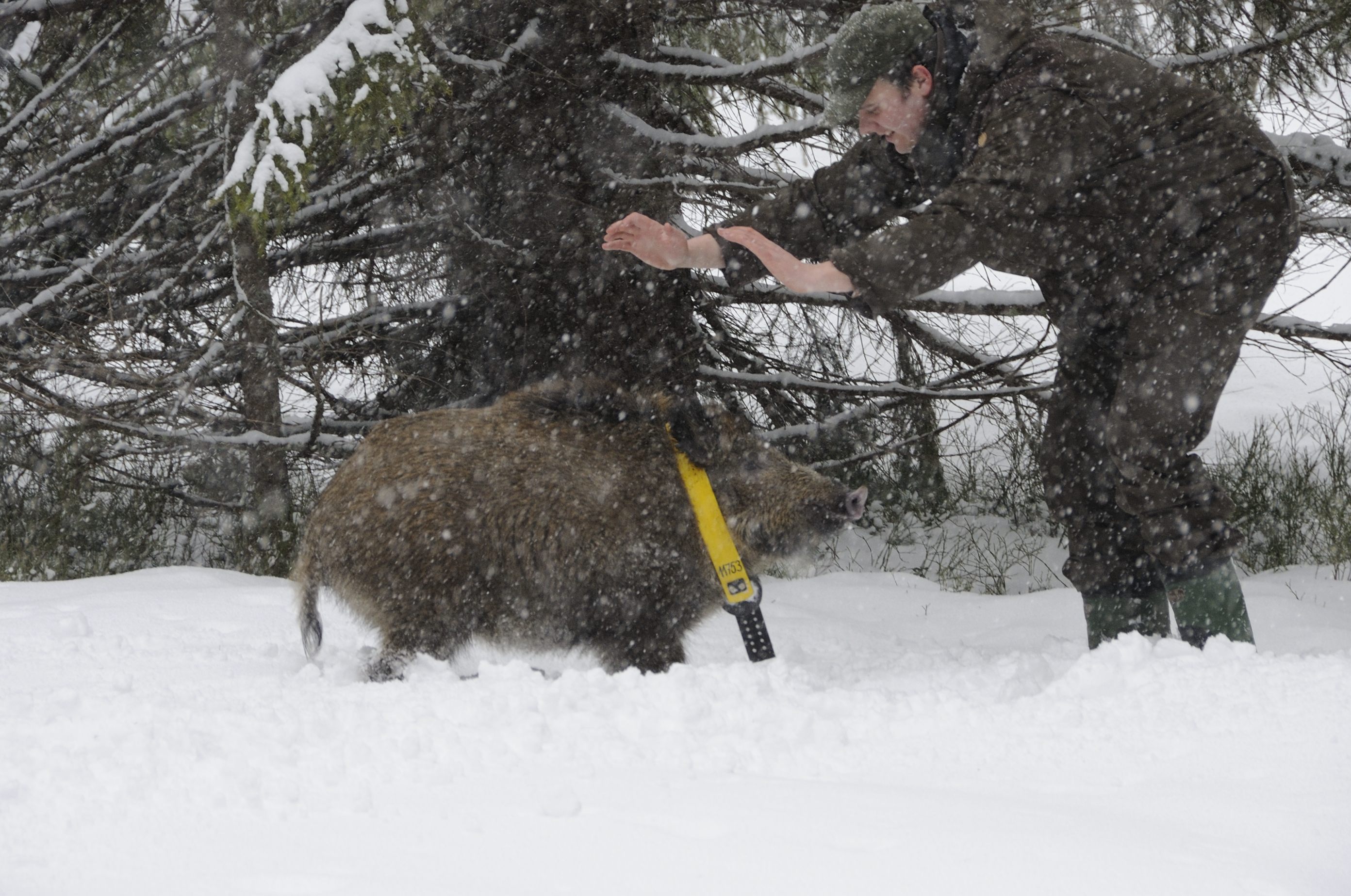
Geospatial data and analysis is critical for conservation, from planning to implementation and measuring success. Every day, mapping and spatial analysis are aiding conservation decisions, protected areas designation, habitat management on reserves and monitoring of wildlife populations, to name but a few examples. The Geospatial group focuses on all aspects of this field, from field surveys to remote sensing and data development/analysis to GIS systems.
How to Get Started
Want to learn more about how remote sensing is used in conservation? Check out the first two episodes of this season of Tech Tutors, where our Tutors answer the questions How do I use open source remote sensing data to monitor fishing? and How do I access and visualise open source remote sensing data in Google Earth Engine? You can also check out our Virtual Meetup Archive for a range of panels that overlap with Geospatial topics, or take a look at our Earth Observation 101 lecture series from Dr. Cristian Rossi.
Our Purpose
The WILDLABS Geospatial Group is for conservation practitioners, geospatial analysts, and academics that want to:
- Share geospatial resources, best practices, data, and ideas;
- Network amongst geospatial and data practitioners;
- Create peer learning opportunities;
- Promote the use of free and open-source geospatial software; and
- Improve the use of GIS software and geospatial analyses in conservation management and research.
Group curators

Over 35 years of experience in biodiversity conservation worldwide, largely focused on forests, rewilding and conservation technology. I run my own business assisting nonprofits and agencies in the conservation community


- 5 Resources
- 62 Discussions
- 12 Groups
- @ahmedjunaid
- | He/His
Zoologist, Ecologist, Herpetologist, Conservation Biologist


- 63 Resources
- 7 Discussions
- 26 Groups

Fauna & Flora
Remote Sensing Scientist, Conservation Technology & Nature Markets @ Fauna & Flora - WILDLABS Geospatial Group Co-Lead

- 34 Resources
- 28 Discussions
- 8 Groups

- @leonardoscarpa
- | He/His
I'm Leonardo, I'm a biologist, and I'm passionate about movement ecology. Another of my hobbies is GIS. I have a master's degree in this topic, which I complement with the use of technology such as drones, camera traps and acoustic receivers
- 0 Resources
- 0 Discussions
- 10 Groups
Working in relation to ecosystem services
- 0 Resources
- 0 Discussions
- 8 Groups

Passionate advocate for nature and experienced communicator, looking to explore opportunities to leverage technology in wildlife and marine conservation
- 0 Resources
- 0 Discussions
- 7 Groups

- @Alex.S
- | She/Her
MSc Marine Biologist and Data Scientist, Co-Founder and CSO & CTO of Galene Pathways
- 0 Resources
- 0 Discussions
- 8 Groups

- @ATM
- | HE
I studied Wildlife and Ecotourism Management in University of Ìbàdàn, Nigeria, I'm a front-end developer. I am interested in conservation technology
- 0 Resources
- 5 Discussions
- 11 Groups
The Nature Conservancy
- 0 Resources
- 1 Discussions
- 3 Groups

- @valeria
- | she/her
Studio Pixel
AI integration architect, AI product manager. I've built the front-end of this website 😁
- 0 Resources
- 3 Discussions
- 13 Groups

Stellenbosch University & The Cape Leopard Trust

- 0 Resources
- 22 Discussions
- 6 Groups
- @Harperinos
- | he/him
'Diploma of Conservation & Ecosystem Management' student at TAFE NSW Australia.
- 0 Resources
- 2 Discussions
- 6 Groups

- @Angele
- | She/Her
Working with IPLCs and applying data/geospatial tools for a conservation/carbon forestry project in the Philippines 🌿
- 0 Resources
- 0 Discussions
- 8 Groups

- 0 Resources
- 0 Discussions
- 16 Groups

- 0 Resources
- 0 Discussions
- 6 Groups
Careers
Machine Learning Postdoc Position, Understory

Ross Davison
Join us to help prevent biodiversity loss! Understory is hiring a postdoc to lead R&D Development on generalizing Computer Vision models for vegetation identification across space/time/phenotypes.
29 February 2024
Article
Data data everywhere, but not a byte to use!

Cassie Anderson
Is there really a sustainability data deficiency? We don’t think so.
29 February 2024
Careers
Join the Luxembourg Institute of Science and Technology (LIST) in pioneering environmental and ecological monitoring! 🌍💡 As part of ERIN’s Observatory for Climate, Environment, and Biodiversity (OCEB), you'll be at the...
26 February 2024
Article
Scaling biodiversity scoring for supply chains aligned with TNFD
Cassie Anderson
How Earth Blox reduced biodiversity impact analysis from 2 months to 1 hour for a global bank.
20 February 2024
Careers
The primary focus of the research is to explore how red deer movements, space use, habitat selection and foraging behaviour change during the wolf recolonization process.
10 February 2024
Careers

The Wildlife Restoration Foundation is hiring a Conservation Technology Intern
8 February 2024
Careers
New position available in Esri’s Nonprofit account team.
8 February 2024
Article

Using geospatial data and the TNFD L.E.A.P approach to assess nature-related risks, impacts and opportunities in supply chains.
4 January 2024
Article
Paving the Way for Women: LoRaWAN Technology in Akagera National Park with Clementine Uwamahoro

Esther Githinji and 1 more
Read our interview with Clementine Uwamahoro, African Parks’ Country Manager in Conservation Technology overlooking technology operations for both Akagera National Park and Nyungwe National Park.
29 November 2023
Article
ICOTEQ launch TAGRANGER® system of products
Craig Rackstraw
TagRanger® is a state-of-the-art wildlife finding, monitoring and tracking solution for research, conservation and environmental professionals. With superior configurability for logging data, reporting location and...
23 November 2023
Link

A secure platform designed for those working to monitor & protect natural resources. Insight facilitates sharing experience, knowledge & tools to increase efficiency & effectiveness in conservation. By...
7 November 2023
Article
With the rising threats to biodiversity such as wildlife crime, climate change and human-wildlife conflict today, wildlife monitoring technologies have become vital to study movement ecology, behaviour patterns, changes...
25 October 2023
June 2025
event

Joel Masselink
October 2025
event

Lacey Hughey and 3 more
November 2025

July 2023

event

Anne Dangerfield

June 2023
event

Hirari Sasaki
126 Products
Recently updated products
| Description | Activity | Replies | Groups | Updated |
|---|---|---|---|---|
| The loss of the free NICFI tropics data has been a huge loss for us at CI. We have many teams that were using it for lots of different use cases. If anyone has alternatives, we... |
|
Geospatial | 4 days 13 hours ago | |
| Hi all! I recently did a little case study using RGB drone data and machine learning to quantify plant health in strawberries. I wanted to... |
|
Citizen Science, Conservation Tech Training and Education, Drones, Geospatial | 1 week 1 day ago | |
| I have posted about this in a different group, but I love boosting the impact of my communication through use of visuals. Free graphics relating to conservation technology... |
|
Geospatial, Climate Change, Community Base, Connectivity, Funding and Finance, Open Source Solutions | 3 weeks 3 days ago | |
| One of our goals with explorer.land is to bridge satellite data and on-the-ground perspectives — helping teams combine field updates,... |
|
AI for Conservation, Geospatial, Open Source Solutions, Sensors | 1 month ago | |
| 15 years ago I had to rebuild the dams on a game reserve I was managing due to flood damage and neglect. How I wished there was an easier,... |
|
Drones, Conservation Tech Training and Education, Data management and processing tools, Emerging Tech, Geospatial, Open Source Solutions | 1 month 1 week ago | |
| Hi @iainmcnicol , welcome to WILDLABS! Thanks for posting this on here. I have shared with my colleagues at Fauna & Flora who have some experience (especially with the... |
|
Community Base, Geospatial, Protected Area Management Tools, Wildlife Crime | 1 month 1 week ago | |
| A nice work from @dmorris! See his LK post. "Lots of information in the conservation literature is represented in maps (e.g., the... |
|
AI for Conservation, Geospatial | 1 month 2 weeks ago | |
| Yep see you on friday |
+3
|
Geospatial, Acoustics, AI for Conservation, Camera Traps, Citizen Science, Community Base, Data management and processing tools, Emerging Tech, Open Source Solutions, Protected Area Management Tools | 1 month 3 weeks ago | |
| Yep we are working on it 1/ segment 2/remote unwanted ecosytem3/get local potential habitat4/generate5/add to picture |
|
Geospatial, AI for Conservation, Data management and processing tools, Open Source Solutions, Software Development | 1 month 3 weeks ago | |
| All sound, would be nice if there were only 5, though! |
|
AI for Conservation, Citizen Science, Data management and processing tools, Emerging Tech, Ethics of Conservation Tech, Funding and Finance, Geospatial, Open Source Solutions, Software Development | 1 month 4 weeks ago | |
| Good morning JocelynThank you very much for your comment, this is proving to be very useful advice and thank you so much for setting me on the right path!! This is very exciting!!... |
|
Animal Movement, Citizen Science, Human-Wildlife Conflict, Marine Conservation, Drones, Community Base, Geospatial | 1 month 4 weeks ago | |
| Means so much. Thank you, @CathyNj. |
|
Geospatial | 1 month 4 weeks ago |


